Rancho Murieta in Sacramento County, California — The American West (Pacific Coastal)
Gold Mining and Michigan Bar
Michigan Bar
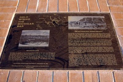
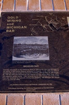
Gold was discovered on the Cosumnes River in 1849 by two men from Michigan in the vicinity of the historic Nisenan settlement of Palamul. In the 1850s the town of Michigan Bar was the largest in Cosumnes Township, with as many as 1500 people. By 1800 the town had declined but still retained its post office, Wells Fargo office, and important pottery works. Little remained by the 20th century and much of the town was destroyed by hydraulic mining and dredging. The Michigan Bar School was in use until the 1940s.
California Registered Historical Landmark No. 468
This plaque placed by the California Department of Transportation
(August 2001)
(right panel)
The Michigan Bar Mining District
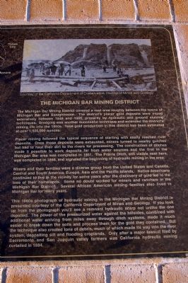
The Michigan Bar Mining District covered a vast area roughly between the towns of Michigan Bar and Sloughhouse. The district's placer gold deposits were mined extensively between 1849 and 1900, primarily by hydraulic and ground sluicing techniques. Dredging was another successful technique and extended the district's mining life into the 1950s. Total gold production in this district has been estimated at over 1,500,000 ounces.
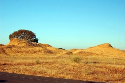
Placer mining followed the typical sequence of starting with easily reached river deposits. Once those deposits were exhausted, miners turned to nearby gulches but had to haul their dirt to the rivers for processing. The construction of ditches made it possible to work deposits far from water sources and the first in the Michigan Bar area was completed in 1851. The Prairie Ditch, still visible near here, was completed in 1858, and signaled the beginning of hydraulic mining in the area.
Miners and their families were a diverse group from the United States and Canada, Central and South America, Europe, Asia and the Pacific Islands. Native Americans continued to live in the vicinity for some years after the discovery of gold led to the loss of their homelands. Some no doubt worked for miners and ranchers in the Michigan Bar District. Several African American mining families also lived in Michigan Bar for many years.
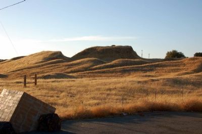
This 1860s photograph of hydraulic mining in the Michigan Bar Mining District is presented courtesy of the California Department of Mines and Geology. If you look up from the photograph you'll see a remnant hydraulic scarp not unlike the one depicted. The power of the pressurized water against the hillsides, combined with additional water arriving from miles away through ditch systems, made it much easier to break down the soils and process them for the gold they contained. But the technique also crated tons of debris, much of which made its
way into the river system, depositing silt and flooding croplands. Only after a major lawsuit filed by Sacramento and San Joaquin valley farmers was California hydraulic mining curtailed in 1884.
Erected 2001 by California Department of Transportation. (Marker Number 468.)
Topics and series. This historical marker is listed in these topic lists: Natural Resources • Settlements & Settlers. In addition, it is included in the California Historical Landmarks series list. A significant historical year for this entry is 1849.
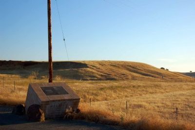
Location. 38° 29.172′ N, 121° 3.178′ W. Marker is in Rancho Murieta, California, in Sacramento County. Marker is at the intersection of Michigan Bar Road and Highway 16, on the left when traveling north on Michigan Bar Road. Touch for map. Marker is in this post office area: Sloughhouse CA 95683, United States of America. Touch for directions.
Other nearby markers. At least 8 other markers are within 8 miles of this marker, measured as the crow flies. Forest Home (approx. 4.9 miles away); Latrobe (approx. 6.3 miles away); Latrobe Elementary School (approx. 6.3 miles away); Sloughhouse Pioneer Cemetery (approx. 7˝ miles away); Jared D. Sheldon (approx. 7˝ miles away); John P. Rhoads (approx. 7˝ miles away); Sloughhouse (approx. 7.8 miles away); Sheldon Grist Mill (approx. 7.8 miles away). Touch for a list and map of all markers in Rancho Murieta.
Additional commentary.
1. William Martin -Gold Miner
One of my ancestors, William Martin was a Gold Miner at Michigan Bar. He was a soldier during the Civil War, and headed to California after the War ended. According to our family history, William was in California mining Gold, and when he struck Gold sent for other family members.
It is not clear which family members came to California, but there is nothing on William Martin after 1900. Although William Martin was listed as a Mulatto in Pennsylvania, he was listed as White in the census records for California. He was listed as being in Placer County and then in Michigan Bar.
Editor's Note: Thank you for sharing some of your family's history related to this historical marker. Please understand our site is a database of historical markers around the world. If you are looking for genealogical information, we recommend you use one of the many quality sites designed for that purpose.
— Submitted August 17, 2010, by Anita Wills of San Leandro, California.
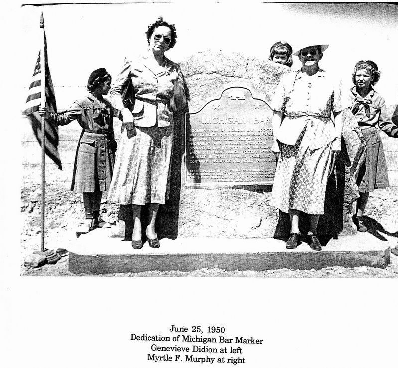
Photographed By Unknown, June 25, 1950
4. Gold Mining and Michigan Bar Marker
Dedication of original historical marker at Michigan Bar, Sacramento County, June 25, 1950. Genevieve Didion on left, my grandmother Myrtle F (Rotsler) Murphy on right. Scanned from a privately-published book about Myrtle F Murphy compiled by my mother and aunt in 1996.
Credits. This page was last revised on January 23, 2017. It was originally submitted on August 11, 2007, by Karen Key of Sacramento, California. This page has been viewed 6,051 times since then and 153 times this year. Photos: 1, 2, 3. submitted on August 11, 2007, by Karen Key of Sacramento, California. 4. submitted on January 23, 2017, by David Berry of Rohnert Park, California. 5, 6, 7. submitted on August 11, 2007, by Karen Key of Sacramento, California. • J. J. Prats was the editor who published this page.
