Topeka in Shawnee County, Kansas — The American Midwest (Upper Plains)
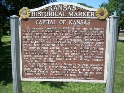
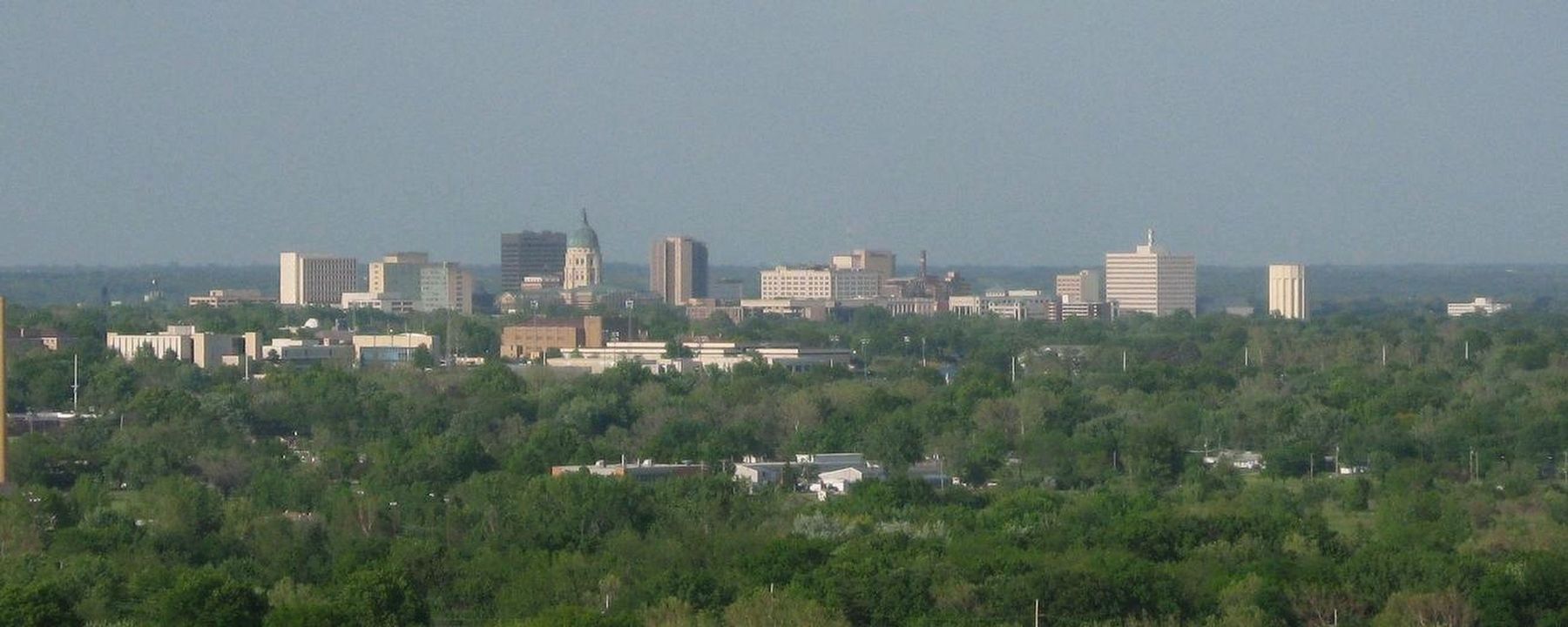
Capital of Kansas
After the war, in 1868, the Santa Fe railroad, promoted by C.K. Holliday, a city founder, first started building from Topeka. This was the birthplace, in 1860, of Vice President Charles Curtis; part Kaw Indian, the only "native American" to reach so high an office.
Erected by Kansas Historical Society and State Highway Commission. (Marker Number 15.)
Topics and series. This historical marker is listed in these topic lists: African Americans • Railroads & Streetcars • Settlements & Settlers • War, US Civil. In addition, it is included in the Former U.S. Presidents: #14 Franklin Pierce, the Kansas Historical Society, and the Oregon Trail series lists. A significant historical year for this entry is 1854.
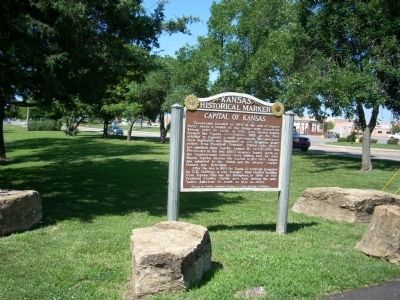
Location. Marker has been permanently removed. It was located near 39° 0.077′ N, 95° 41.274′ W. Marker was in Topeka, Kansas, in Shawnee County. Marker was at the intersection of 37th Street and Topeka Boulevard, on the right when traveling west on 37th Street. This marker is in a small roadside park at 37th & Topeka Boulevard. The entrance to the park is on a diagonal road accessed from Topeka Boulevard traveling from the north. Touch for map. Marker was in this post office area: Topeka KS 66611, United States of America.
We have been informed that this sign or monument is no longer there and will not be replaced. This page is an archival view of what was.
Other nearby markers. At least 8 other markers are within 3 miles of this location, measured as the crow flies. Palm Park (approx. 0.7 miles away); Ichabod Washburn (approx. 2˝ miles away); Monroe School Neighborhood (approx. 2.6 miles away); A "Separate But Equal" School? (approx. 2.6 miles away); How to Heat and Cool an Old School (approx. 2.6 miles away); A Turning Point for Equality (approx. 2.6 miles away); Monroe School (approx. 2.6 miles away); A Playground and Community Center (approx. 2.6 miles away). Touch for a list and map of all markers in Topeka.
More about this marker. Marker has been replaced by an updated version and it has been moved to an area just south of the capital in downtown.
Also see . . .
1. Kansas Historical Markers. This is an official link to the Kansas historical markers. (Submitted on July 3, 2009, by Thomas Onions of Olathe, Kansas.)
2. Map of the Oregon Trail. (Submitted on July 3, 2009, by Thomas Onions of Olathe, Kansas.)
3. Mileposts along the Oregon Trail. (Submitted on July 3, 2009, by Thomas Onions of Olathe, Kansas.)
4. Topeka Kansas Visitor's Bureau. Official link to "Visit Topeka" (Submitted on July 3, 2009, by Thomas Onions of Olathe, Kansas.)
Credits. This page was last revised on November 5, 2021. It was originally submitted on July 3, 2009, by Thomas Onions of Olathe, Kansas. This page has been viewed 1,878 times since then and 27 times this year. Photos: 1, 2. submitted on July 3, 2009, by Thomas Onions of Olathe, Kansas. 3. submitted on January 2, 2021, by Larry Gertner of New York, New York. • Craig Swain was the editor who published this page.


