Highland in Sullivan County, New York — The American Northeast (Mid-Atlantic)
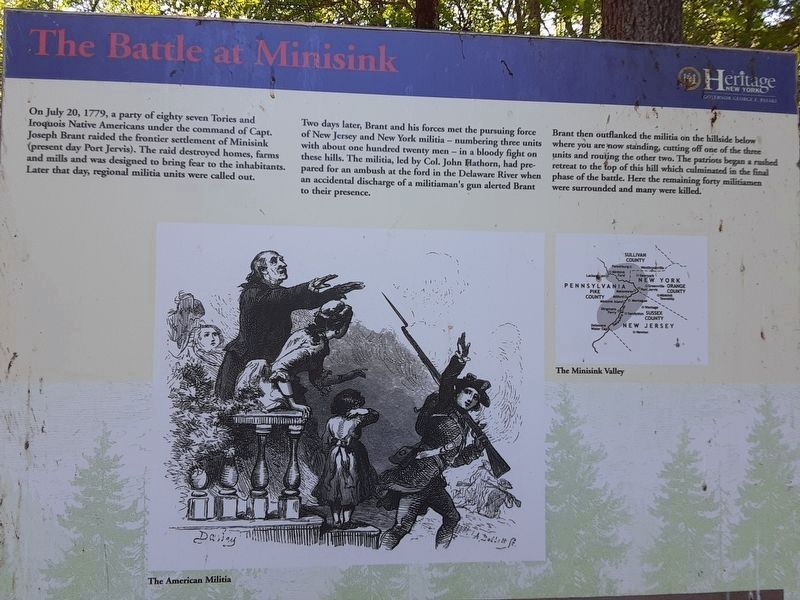
The Battle at Minisink
Revolutionary War Heritage Trail
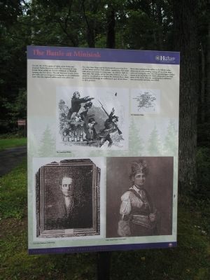
Two days later, Brant and his forces met the pursuing force of New Jersey and New York militia – numbering three units with about one hundred twenty men – in a bloody fight on these hills. The militia, led by Capt. John Hathorn, had prepared for an ambush at the ford in the Delaware River when an accidental discharge of a militiaman’s gun alerted Brant to their presence.
Brant then outflanked the militia on the hillside below where you are now standing, cutting off one of the three units and routing the other two. The patriots began a rushed retreat to the top of this hill which culminated in the final phase of the battle. Here the remaining forty militiamen were surrounded and many were killed.
Erected by New York State.
Topics. This historical marker is listed in these topic lists: Native Americans • War, US Revolutionary. A significant historical month for this entry is July 1972.
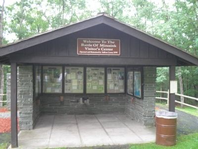
Location. 41° 29.222′ N, 74° 58.213′ W. Marker is in Highland, New York, in Sullivan County. Marker can be reached from Minisink Battle Ground Road, on the left when traveling east. Marker is located in Minisink Battleground Park, near the Visitor Interpretive Center. Touch for map. Marker is in this post office area: Barryville NY 12719, United States of America. Touch for directions.
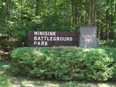
Other nearby markers. At least 8 other markers are within walking distance of this marker. Minisink Battleground Park (here, next to this marker); Minisink Battleground Park (within shouting distance of this marker); Indian Rock (about 400 feet away, measured in a direct line); Battle of Minisink Memorial (about 500 feet away); Minisink Battle Monument (about 600 feet away); In Memory of Our Fallen Heroes (about 600 feet away); Last Stand On The Rocky Hill (about 700 feet away); Hospital Rock (about 700 feet away). Touch for a list and map of all markers in Highland.
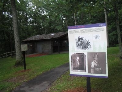
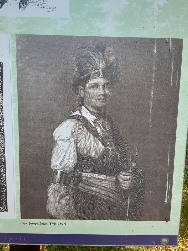
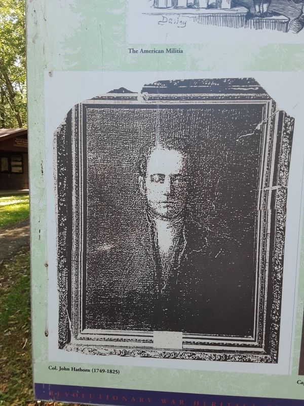
More about this marker. Several pictures appear on the marker, including an American Militiaman taking leave of his family, and portraits of Col. John Hathorn (1749 – 1825) and Capt. Joseph Brant (1743 – 1807). Also on the marker is a map of the Minisink Valley, located in the states of Pennsylvania, New York and New Jersey.
Related markers. Click here for a list of markers that are related to this marker. Follow the markers along the Battleground Trail in Minisink Battleground Park.
Also see . . .
1. The Battle at Minisink Ford. Minisink Valley Historical Society website. (Submitted on July 3, 2009, by Bill Coughlin of Woodland Park, New Jersey.)
2. The Battle of Minisink. The American Revolutionary War website. (Submitted on July 3, 2009, by Bill Coughlin of Woodland Park, New Jersey.)
Credits. This page was last revised on July 1, 2022. It was originally submitted on July 3, 2009, by Bill Coughlin of Woodland Park, New Jersey. This page has been viewed 1,427 times since then and 31 times this year. Photos: 1, 2, 3, 4, 5. submitted on July 3, 2009, by Bill Coughlin of Woodland Park, New Jersey. 6, 7, 8. submitted on July 1, 2022, by Scott J. Payne of Deposit, New York.
