Harpers Ferry in Jefferson County, West Virginia — The American South (Appalachia)
Daring Escapes
Harpers Ferry National Historical Park
— National Park Service, U.S. Department of the Interior —
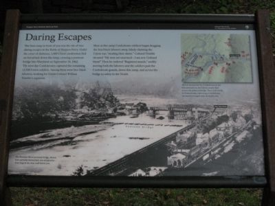
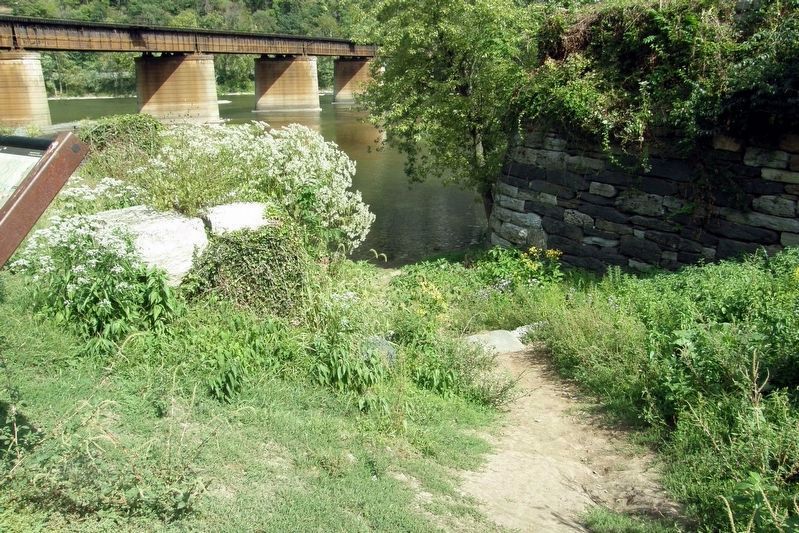
The boat ramp in front of you was the site of two daring escapes in the Battle of Harpers Ferry. Under the cover of darkness, 1,400 Union cavalrymen fled on horseback down the ramp, crossing a pontoon bridge into Maryland on September 14, 1862. The next day Confederates captured the remaining 12,500 Union soldiers. Among them were free black laborers, working for Union Colonel William Trimble's regiment.
Here at this ramp Confederate soldiers began dragging the free black laborers away, falsely claiming the Union was "stealing their slaves." Colonel Trimble shouted "My men are unarmed - I am not. Unhand them!" Then he ordered "Regiment march," swiftly moving both the laborers and the soldiers past the Confederate guards, down this ramp, and across the bridge to safety in the North.
Erected by National Park Service, U.S. Department of the Interior.
Topics. This historical marker is listed in these topic lists: War, US Civil • Waterways & Vessels. A significant historical month for this entry is September 1861.
Location. 39° 19.432′ N, 77° 43.772′ W. Marker is in Harpers Ferry, West Virginia, in Jefferson County. Marker can be reached from Potomac Street just north of Shenandoah Street, on the right when traveling west. Touch for map. Marker is in this post office area: Harpers Ferry WV 25425, United States of America. Touch for directions.
Other nearby markers. At least 8 other markers are within walking distance of this marker. A Perfect Heap of Ruins (a few steps from this marker); My Favorite Boat (a few steps from this marker); Home of Joseph Perkins (within shouting distance of this marker); Smith and Forging Shop (within shouting distance of this marker); Racing West (within shouting distance of this marker); Short-lived Sanctuary (within shouting distance of this marker); John Brown's Last Stand (within shouting distance of this marker); Six Acres That Changed the World (within shouting distance of this marker). Touch for a list and map of all markers in Harpers Ferry.
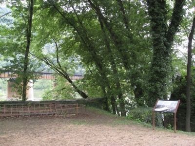
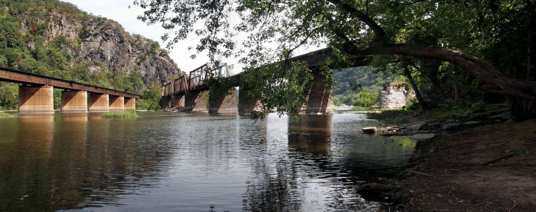
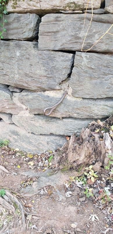
More about this marker. The background of the marker is a photo of the bridges at Harpers Ferry. The Potomac River pontoon bridge, shown here partially dismantled, was attached to iron rings in the river wall below you. On the upper right is a map depicting the situation, captioned: All but surrounded by Confederates in the hills around you, the Union calvary fled across the pontoon bridge. They rode north to Pennsylvania capturing a Confederate ammunition wagon train along the way.
Credits. This page was last revised on October 20, 2020. It was originally submitted on July 4, 2009, by Henry T. McLin of Hanover, Pennsylvania. This page has been viewed 1,078 times since then and 28 times this year. Last updated on October 19, 2020, by Bradley Owen of Morgantown, West Virginia. Photos: 1, 2, 3. submitted on July 4, 2009, by Henry T. McLin of Hanover, Pennsylvania. 4. submitted on April 25, 2020, by Larry Gertner of New York, New York. 5. submitted on April 26, 2020, by Larry Gertner of New York, New York. 6. submitted on October 19, 2020, by Bradley Owen of Morgantown, West Virginia. • Devry Becker Jones was the editor who published this page.
