Near Monkton in Baltimore County, Maryland — The American Northeast (Mid-Atlantic)
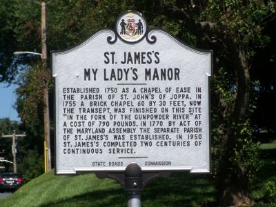
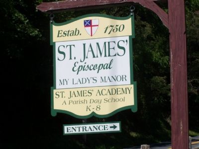
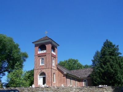
St. Jamesís
My Ladyís Manor
Erected 1955 by State Roads Commission.
Topics. This historical marker is listed in these topic lists: Cemeteries & Burial Sites • Churches & Religion • Colonial Era. A significant historical year for this entry is 1750.
Location. 39° 33.635′ N, 76° 34.002′ W. Marker is near Monkton, Maryland, in Baltimore County. Marker is on Old York Road just north of Old York Road, on the right when traveling north. Touch for map. Marker is in this post office area: Monkton MD 21111, United States of America. Touch for directions.
Other nearby markers. At least 8 other markers are within 4 miles of this marker, measured as the crow flies. My Lady's Manor (about 600 feet away, measured in a direct line); a different marker also named My Ladyís Manor (approx. ľ mile away); a different marker also named My Lady's Manor (approx. 0.6 miles away); Clynmalira (approx. 2Ĺ miles away); Ladew Topiary Gardens and Pleasant Valley House (approx. 3.1 miles away); St. John's Chapel (approx. 3.6 miles away); ďQuinnĒ (approx. 3.7 miles away); Phoenix (approx. 4 miles away). Touch for a list and map of all markers in Monkton.
More about this marker. This marker replaces an earlier version, erected by the Maryland State Roads Commission, in 1935.
Credits. This page was last revised on November 12, 2020. It was originally submitted on August 12, 2007, by Bill Pfingsten of Bel Air, Maryland. This page has been viewed 3,425 times since then and 60 times this year. Photos: 1, 2, 3. submitted on August 12, 2007, by Bill Pfingsten of Bel Air, Maryland. • J. J. Prats was the editor who published this page.


