Genoa in Douglas County, Nevada — The American Mountains (Southwest)
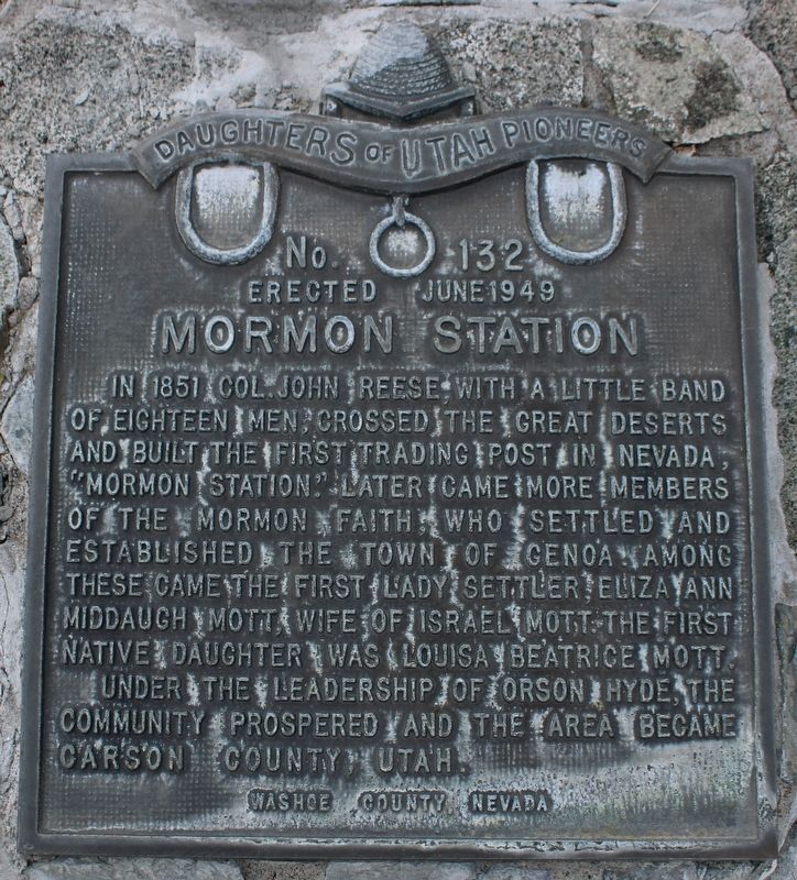
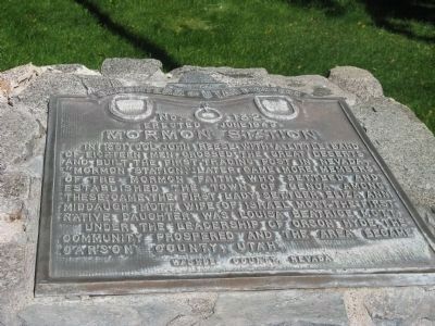
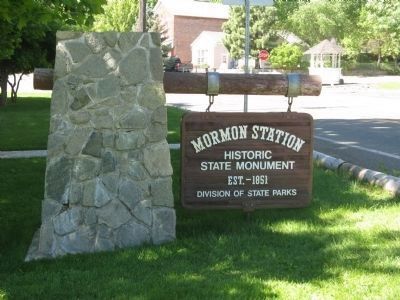
Mormon Station
No. 132
— Erected June 1949 —
Under the leadership of Orson Hyde, the community prospered and the area became Carson County, Utah.
Erected 1949 by Daughters of Utah Pioneers. (Marker Number 132.)
Topics and series. This historical marker is listed in these topic lists: Landmarks • Notable Places • Settlements & Settlers. In addition, it is included in the Daughters of Utah Pioneers series list. A significant historical year for this entry is 1851.
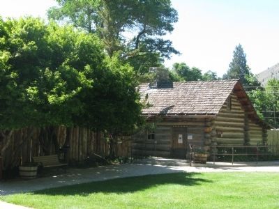
Location. 39° 0.248′ N, 119° 50.746′ W. Marker is in Genoa, Nevada, in Douglas County. Marker can be reached from the intersection of Jacks Valley Road/Main Street (Nevada Route 206) and Genoa Lane. Marker is located at the Mormon Station Historic State Monument. Touch for map. Marker is in this post office area: Genoa NV 89411, United States of America. Touch for directions.
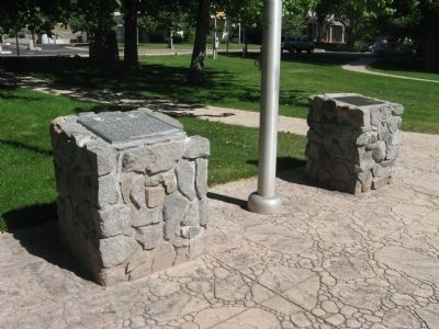
Other nearby markers. At least 8 other markers are within walking distance of this marker. Mormon Station - Genoa (here, next to this marker); Mormon Station State Historic Park (a few steps from this marker); About Your Journey... (within shouting distance of this marker); John A. “Snowshoe” Thompson (within shouting distance of this marker); Welcome to Mormon Station State Historic Park (within shouting distance of this marker); We Made It! The End of the Great Basin (within shouting distance of this marker); Carson Trail - Original Mormon Station (within shouting distance of this marker); The Journey Through Nevada (within shouting distance of this marker). Touch for a list and map of all markers in Genoa.
Regarding Mormon Station. See "Nearby Marker" Mormon Station - Genoa for additional information and photos.
Also see . . .
1. Mormon Station State Park. Official Site of the Nevada States Parks (Submitted on July 10, 2009, by Syd Whittle of Mesa, Arizona.)
2. Mormon Station State Park Brochure. (Submitted on July 10, 2009, by Syd Whittle of Mesa, Arizona.)
Additional commentary.
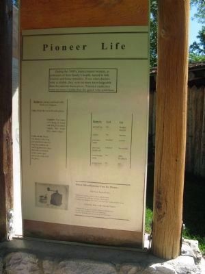
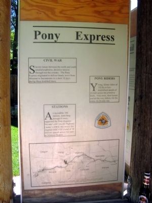
1. Informational Kiosk on the Grounds of the Mormon Station State Park
Information regarding the Park, the Pony Express, the controversy surrounding Genoa or Dayton being the first settlement in Nevada, additional Nevada State Parks information, the California Trail, and Pioneer Life information.
Pioneer Life:
During the 1800’s, many pioneer women, as protector’s of their family’s health, turned to folk wisdom and home remedies. Even when doctors were available, they were no more knowledgeable than the patients themselves. Patented medicines were no more reliable than the quack who sold them.
Baldness: Smear your head with fresh cow manure.
Cuts: Pack the cut with axel grease.
Coughs: Put some cow dung in water and bring to boil. Gargle the water three times a day.
Crick in the neck: Go down to the hog pen and find where a hog has rubbed against the fence, then rub your neck in the same spot and your crick will be gone.
California Trail:
Mormon Station: Mormon Station served as a supply station to the emigrants. Food, supplies, and fresh animals could be obtained here from John Reese for a price. The plentitude of land and water enabled Reese to build a store and a hotel on this spot. He was able to grow a small yet profitable garden and graze animals for resale.
The Carson Route:
Although steeper
than Donner Pass, the Carson River Route section of the California Trail became a major thoroughfare to California. Travelers had no need to disassemble the wagons to climb over the mountains or fear another winter catastrophe.
Carson Valley: Emigrants followed the foothills while in the Carson Valley to avoid the bogs and marshes. But the wagon trains would leave the trail to graze their animals in the grasses nearby.
Supplies: Once resupplied, the emigrants would continue along the foothills following what is today HWY 88 over Carson Pass into California.
Reese knew he could charge almost any price for his supplies due to the location and need. One pound of sugar or flour cost $2.00. A pound of bacon sold for $2.00
Compare the prices in 1851 to today’s prices….1 lb of bacon - $2.29, 5 lbs of sugar - $.99 and 5 lbs of flour - $.79.
— Submitted July 10, 2009, by Syd Whittle of Mesa, Arizona.
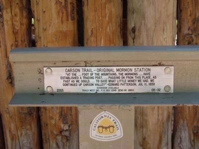
Photographed By Syd Whittle, July 6, 2009
9. California Trail - National Historical Trail Marker CR-23 (2003)
"At the...foot of the mountains, the Mormons...have
established a trading post....passing on from this place, as fast as we could....to save what little money we had. We continued up Carson Valley"
Edward Patterson, July 11, 1850
Credits. This page was last revised on May 16, 2023. It was originally submitted on July 10, 2009, by Syd Whittle of Mesa, Arizona. This page has been viewed 2,709 times since then and 31 times this year. Photos: 1. submitted on May 16, 2023, by Joseph Alvarado of Livermore, California. 2, 3, 4, 5, 6, 7, 8, 9, 10, 11. submitted on July 10, 2009, by Syd Whittle of Mesa, Arizona.
