Near Sharpsburg in Washington County, Maryland — The American Northeast (Mid-Atlantic)
War Department Observation Tower
Erected 2009 by Antietam National Battlefield - National Park Service - U.S. Department of the Interior.
Topics. This historical marker is listed in this topic list: War, US Civil. A significant historical year for this entry is 1896.
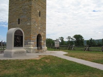
Location. 39° 28.16′ N, 77° 44.16′ W. Marker is near Sharpsburg, Maryland, in Washington County. Marker is on Richardson Avenue, on the left when traveling east. Located at the base of the Observation Tower. Touch for map. Marker is in this post office area: Sharpsburg MD 21782, United States of America. Touch for directions.
Other nearby markers. At least 8 other markers are within walking distance of this marker. Irish Brigade (a few steps from this marker); Major General Israel B. Richardson (a few steps from this marker); Hexamer's (New Jersey) Battery (a few steps from this marker); Army of Northern Virginia (within shouting distance of this marker); a different marker also named Army of Northern Virginia (within shouting distance of this marker); a different marker also named Army of Northern Virginia (within shouting distance of this marker); September 17, 1862 (Continued) (within shouting distance of this marker); a different marker also named September 17, 1862 (Continued) (within shouting distance of this marker). Touch for a list and map of all markers in Sharpsburg.
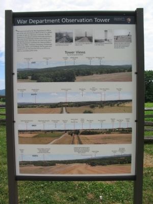
More about this marker. In the upper right are four views of the area around the tower at different times. From left to right:
- Looking east down Bloody Lane before the tower was built.
- The tower as it was originally built without a roof.
- Visitors touring the battlefield early in the 20th century.
- Bloody Lane about 1960, before the park road was moved away from the lane and the historic fencing was restored.
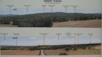
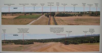
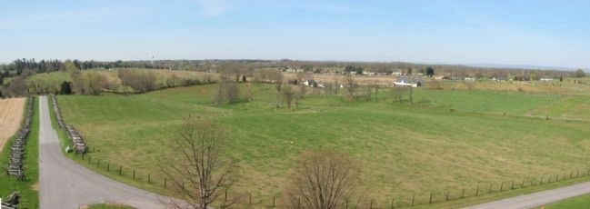
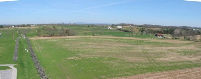
The bottom three-quarters of the marker are panoramic views from the tower looking east, south, west, and north (in order from top to bottom).

Photographed By Craig Swain
8. Looking North from the Tower
To the left are the Mumma and Roulette Farms. Federal forces, including the Irish Brigade, assaulted across the open field in the foreground. To the right is a stand of trees where a cannon represents Battery K, 1st U.S. Artillery, near which General Richardson was mortally wounded.
Credits. This page was last revised on June 16, 2016. It was originally submitted on July 11, 2009, by Craig Swain of Leesburg, Virginia. This page has been viewed 973 times since then and 16 times this year. Photos: 1, 2, 3, 4, 5, 6, 7, 8. submitted on July 11, 2009, by Craig Swain of Leesburg, Virginia.
