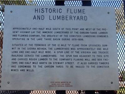
Historic Flume and Lumberyard
Approximately one-half mile south of this point and west of the present highway lay the immense lumberyard of the Carson-Tahoe Lumber and Fluming Company, the greatest of the Comstock lumbering combines operating in the Lake Tahoe Basin during 1870-1898.
Situated at the terminus of the 12 – mile “V” flume from Spooners Summit in the Sierra Nevada, the lumberyard was approximately one mile long and one-half mile wide. A spur line of the Virginia and Truckee Railroad served the lumberyard. The spur ran adjacent to this site and carried rough lumber to the company’s planing mill and box factory, one-half mile north on Stewart Street. It also carried timbers and cordwood to the Carson Yards to be hauled to the Comstock mines and mills.
Erected by Nevada State Park System and the Carson City Historical Commission. (Marker Number 193.)
Topics. This historical marker is listed in these topic lists: Horticulture & Forestry • Industry & Commerce • Natural Resources.
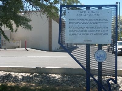
Location. 39° 9.12′ N, 119° 45.99′ W. Marker is in Carson City, Nevada. Marker can be reached from South Carson Street (U.S. 395/50). Marker can be reached by going to the back of the Office Depot
Other nearby markers. At least 8 other markers are within walking distance of this marker. Gardner’s Ranch (within shouting distance of this marker); Logging Wagon (approx. 0.2 miles away); Nevada State Children’s Home (approx. 0.6 miles away); St. Charles Hotel (approx. ¾ mile away); Carson City (approx. ¾ mile away); Kit Carson 1843 – 44 (approx. ¾ mile away); Chinatown (approx. ¾ mile away); Abraham Van Santvoord Curry (approx. ¾ mile away). Touch for a list and map of all markers in Carson City.
Also see . . .
1. Northern Nevada Then and Now. A history and photos of the Carson-Tahoe Lumber Company (Submitted on July 13, 2009, by Syd Whittle of Mesa, Arizona.)
2. New Amended Text for Marker. The Nevada State Historic Preservation Office (SHPO) recently updated the text of the roughly 260 state historical markers in Nevada. The Nevada SHPO placed the amended text of the markers on its website for each individual marker and will change the actual markers in the field as funding allows. Minor changes have been made to the marker for grammar and readability. The link will take you to the Nevada SHPO page for the marker with the amended text. (Submitted on October 24, 2013, by Duane Hall of Abilene, Texas.)

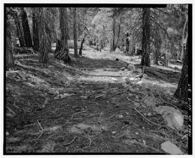
HAER NEV,3-SPSU.V,1B-
Building/structure dates: 1869 initial construction

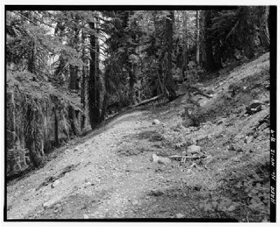
HAER NEV,3-SPSU.V,1B-
Click for more information.
Credits. This page was last revised on December 22, 2020. It was originally submitted on July 13, 2009, by Syd Whittle of Mesa, Arizona. This page has been viewed 1,936 times since then and 63 times this year. Photos: 1, 2, 3, 4. submitted on July 13, 2009, by Syd Whittle of Mesa, Arizona.

