Hopemont in Preston County, West Virginia — The American South (Appalachia)
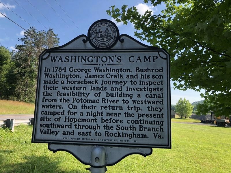
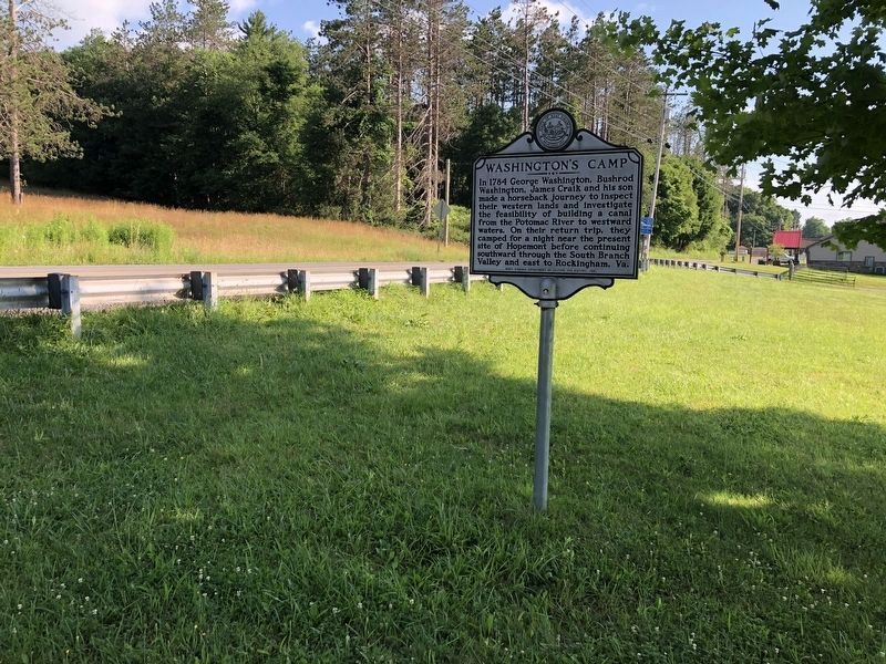
Washington's Camp
Erected 1981.
Topics and series. This historical marker is listed in these topic lists: Exploration • Waterways & Vessels. In addition, it is included in the Former U.S. Presidents: #01 George Washington, the George Washington Slept Here, and the West Virginia Archives and History series lists. A significant historical year for this entry is 1784.
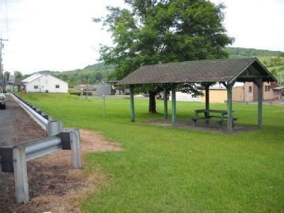
Location. 39° 26.275′ N, 79° 30.951′ W. Marker is in Hopemont, West Virginia, in Preston County. Marker is at the intersection of West Virginia Route 7 and Lime Plant Road (County Route 46), on the right when traveling west on State Route 7. Touch for map. Marker is in this post office area: Terra Alta WV 26764, United States of America. Touch for directions.
Other nearby markers. At least 8 other markers are within 2 miles of this marker, measured as the crow flies. Welcome to West Virginia's Mountaineer Country (here, next to this marker); Hopemont State Hospital (approx. ¼ mile away); Gulf War (approx. 1.4 miles away); Vietnam War (approx. 1.4 miles away); In Memory Of All American Veterans (approx. 1.4 miles away); Korean War (approx. 1.4 miles away); In Flander's Field by John McCrae / Buddy Poppy (approx. 1.4 miles away); World War II (approx. 1.4 miles away).
Credits. This page was last revised on July 13, 2020. It was originally submitted on July 15, 2009, by Jacob Nevin of Bethesda, Maryland. This page has been viewed 1,128 times since then and 20 times this year. Photos: 1, 2. submitted on July 13, 2020, by Devry Becker Jones of Washington, District of Columbia. 3, 4. submitted on July 15, 2009, by Jacob Nevin of Bethesda, Maryland. • Craig Swain was the editor who published this page.


