Near Doswell in Hanover County, Virginia — The American South (Mid-Atlantic)
The Heart of Dixie
May 24, 1864 3:45pm
— Gray Trail —
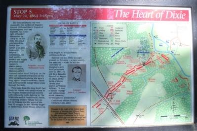
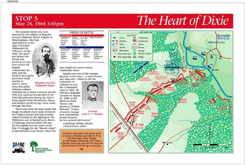
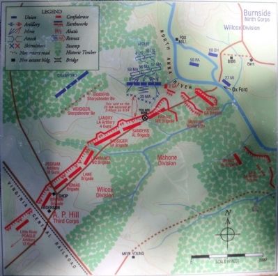
These men from the deep South had fought in almost every major action in the Virginia theater and had recently suffered heavily in the fighting in The Wilderness and at Spotsylvania. Harris, a Vicksburg attorney before the war, led his brigade into the worst of the May 12 struggle for the “Bloody Angle” at Spotsylvania Court House, where his men fought for nearly twenty continuous hours.
Sanders was one of the younger generals in the army -- a mere twenty-one years old -- when he left the University of Alabama to join the Confederate army in 1861. He will die a Brigadier General on August 21, 1864, at the Battle of Globe Tavern, also known as Weldon Railroad. “A man of serene courage and unblemished moral character, he won general admiration.” Confederate Military History, Clement Evans, editor.
(sidebar)
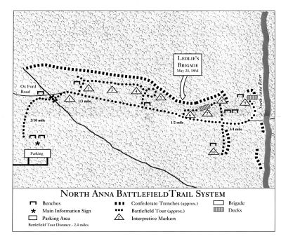
Presented to the people of the United States in memory of Stanhope and Jefferson Posey, 16th Mississippi, Harris’ Brigade, by John Murphy Commercial Art & Design of Jackson, Mississippi who drew the maps and did the layout for all the signs in this park.
(captions)
Brigadier General Nathaniel Harris
Colonel John C. C. Sanders
Erected 1998 by Blue & Gray Education Society, Hanover County Parks and Recreation Department. (Marker Number Stop 5.)
Topics. This historical marker is listed in this topic list: War, US Civil. A significant historical date for this entry is May 24, 1864.
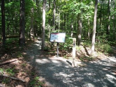
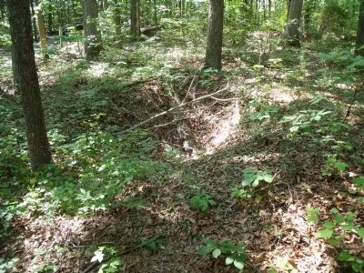
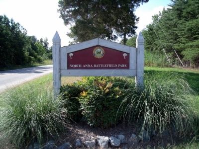
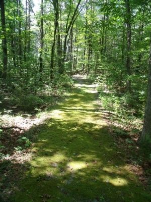
Location. 37° 53.167′ N, 77° 29.79′ W. Marker is near Doswell, Virginia, in Hanover County. Marker can be reached from Verndon Road (Virginia Route 684) 0.2 miles west of New Market Mill Road (Virginia Route 685), on the right when traveling west. Located along the "Gray Trail" in North Anna Battlefield Park. Touch for map. Marker is at or near this postal address: 11576 Verdon Rd, Doswell VA 23047, United States of America. Touch for directions.
Other nearby markers. At least 8 other markers are within walking distance of this marker. Run for Safety (about 300 feet away, measured in a direct line); One Brigade Alone (about 400 feet away); Men From Massachusetts (about 400 feet away); Like the Coming of a Cyclone (about 400 feet away); "Come on to Richmond" (about 600 feet away); Battle on the Skirmish Line (about 700 feet away); Grant Reacts (about 700 feet away); "Save yourselves if you can" (about 800 feet away). Touch for a list and map of all markers in Doswell.
Related markers. Click here for a list of markers that are related to this marker. North Anna Battlefield Park "Gray Trail" Markers
Also see . . .
1. North Anna Battlefield Park. Hanover County Parks & Recreation (Submitted on July 3, 2014.)
2. The Battle of North Anna. Fredericksburg & Spotsylvania National Military Park (Submitted on July 19, 2009.)
3. North Anna. American Battlefield Trust (Submitted on July 19, 2009.)
4. North Anna Battlefield Park Sign Project. Blue & Gray Education Society (Submitted on February 25, 2020.)
Credits. This page was last revised on August 14, 2021. It was originally submitted on July 19, 2009, by Bernard Fisher of Richmond, Virginia. This page has been viewed 1,376 times since then and 43 times this year. Photos: 1. submitted on July 19, 2009, by Bernard Fisher of Richmond, Virginia. 2. submitted on February 25, 2020. 3, 4, 5, 6, 7, 8. submitted on July 19, 2009, by Bernard Fisher of Richmond, Virginia.
