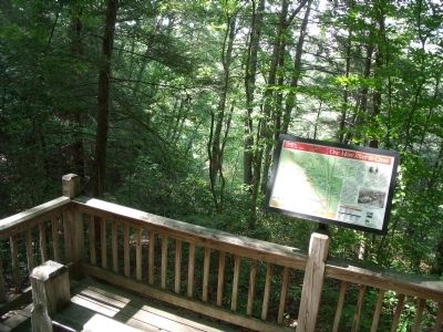
Near Doswell in Hanover County, Virginia — The American South (Mid-Atlantic)
One More River to Cross
May 24 - 26, 1864
— Gray Trail —
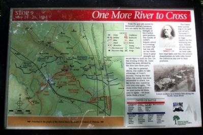
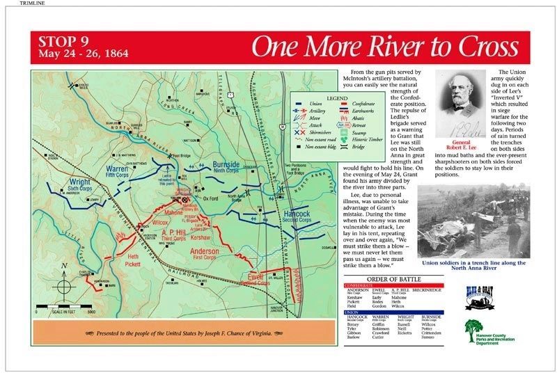
Lee, due to personal illness, was unable to take advantage of Grant’s mistake. During the time when the enemy was most vulnerable to attack, Lee lay in his tent, repeating over and over again, “We must strike them a blow -- we must never let them pass us again -- we must strike them a blow.”
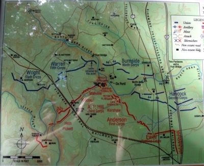
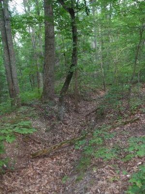
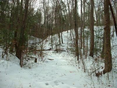
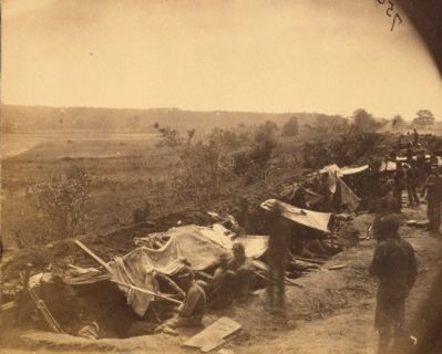
The Union army quickly dug in on each side of Lee’s “Inverted V” which resulted in siege warfare for the following two days. Periods of rain turned the trenches on both sides into mud baths and the ever-present sharpshooters on both sides forced the soldiers to stay low in their positions.
(sidebar)
Presented to the people of the United States by Joseph F. Chance of Virginia.
(captions)
General Robert E. Lee
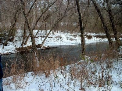
Union soldiers in a trench line along the North Anna River
Erected 1998 by Blue & Gray Education Society, Hanover County Parks and Recreation Department. (Marker Number Stop 9.)
Topics. This historical marker is listed in this topic list: War, US Civil. A significant historical date for this entry is May 24, 1864.
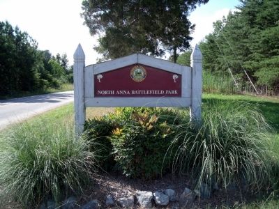
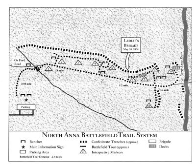
Location. 37° 53.28′ N, 77° 29.514′ W. Marker is near Doswell, Virginia, in Hanover County. Marker can be reached from Verndon Road (Virginia Route 684) 0.2 miles west of New Market Mill Road (Virginia Route 685), on the right when traveling west. Located along the "Gray Trail" in North Anna Battlefield Park. Touch for map. Marker is at or near this postal address: 11576 Verdon Rd, Doswell VA 23047, United States of America. Touch for directions.
Other nearby markers. At least 8 other markers are within walking distance of this marker. The Inverted V (about 500 feet away, measured in a direct line); "Save yourselves if you can" (about 700 feet away); Artillery Duel (approx. 0.2 miles away); "Come on to Richmond" (approx. 0.2 miles away); Grant Reacts (approx. 0.2 miles away); Like the Coming of a Cyclone (approx. 0.2 miles away); Men From Massachusetts (approx. 0.2 miles away); Run for Safety (approx. ¼ mile away). Touch for a list and map of all markers in Doswell.
Related markers. Click here for a list of markers that are related to this marker. North Anna Battlefield Park "Gray Trail" Markers
Also see . . .
1. North Anna Battlefield Park. Hanover County Parks & Recreation (Submitted on July 3, 2014.)
2. The Battle of North Anna. Fredericksburg & Spotsylvania National Military Park (Submitted on July 19, 2009.)
3. North Anna. American Battlefield Trust (Submitted on July 19, 2009.)
4. North Anna Battlefield Park Sign Project. Blue & Gray Education Society (Submitted on February 25, 2020.)
Credits. This page was last revised on August 14, 2021. It was originally submitted on July 19, 2009, by Bernard Fisher of Richmond, Virginia. This page has been viewed 1,389 times since then and 16 times this year. Photos: 1. submitted on July 19, 2009, by Bernard Fisher of Richmond, Virginia. 2. submitted on February 25, 2020. 3, 4, 5, 6, 7, 8, 9, 10, 11. submitted on July 19, 2009, by Bernard Fisher of Richmond, Virginia.
