Jefferson in Frederick County, Maryland — The American Northeast (Mid-Atlantic)
Jefferson
Prowling Confederates and Pretty Girls
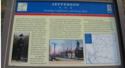
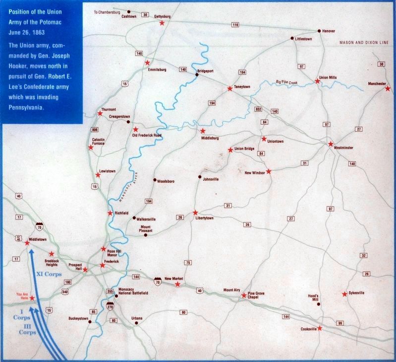
In June 1863, Federal troops marched through Jefferson as the Army of the Potomac pursued Gen. Robert E. Lee’s Army of Northern Virginia, a menacing force to the west—but where was it headed? Fearing that Lee would push through the gaps in South Mountain west of Jefferson, Gen. Joseph Hooker sent Union I, III, and XI Corps to the Catoctin Valley to watch them. Many of the men marched through Jefferson June 24-28 on their way to Burkittsville, at the foot of Crampton’s Gap, and Middletown, just below Turner’s Gap and not far from Fox’s Gap.
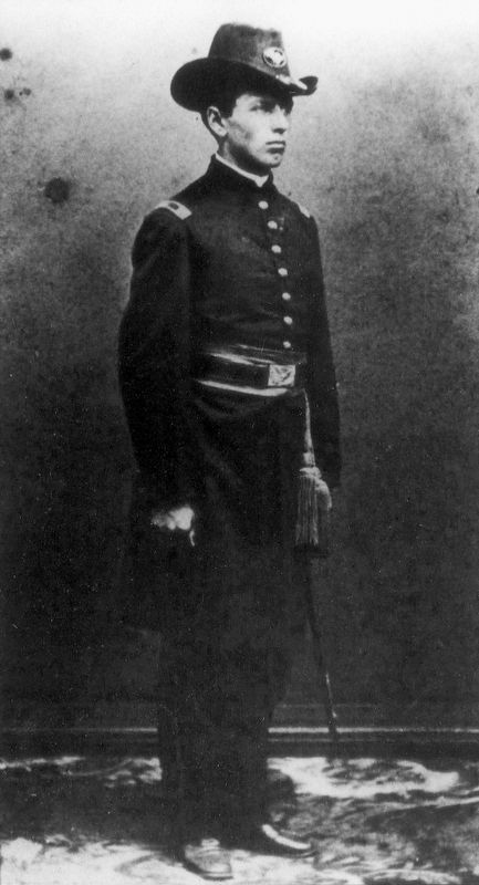
For many Federals, tiny Jefferson was one of the first towns they encountered after crossing the Potomac River. Numerous regiments unfurled their flags and marched through to the beat of drums. The residents welcomed them, and some fed the dusty men free of charge. Maj. Charles Mattocks later recalled “the fine little village of Jefferson”: “Here for the first time for 9 months our entrance was greeted with the ‘red, white, and blue.’... Here for the first time in 9 months our eyes were feasted upon pretty girls and well-dressed citizens! One beautiful damsel threw me a nice bouquet.”
A Union private grumbled that his regiment marched “far enough (beyond Jefferson) that the men won’t go back to bask in the sunlight of the smiling females.” Part of the army later passed through the town again while pursuing Lee’s army after the Battle of Gettysburg.
Topics and series. This historical marker is listed in this topic list: War, US Civil. In addition, it is included in the Maryland Civil War Trails series list. A significant historical month for this entry is June 1863.
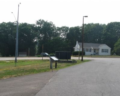
Location. 39° 21.621′ N, 77° 31.898′ W. Marker is in Jefferson, Maryland, in Frederick County. Marker is on Lander Road, on the right when traveling north. Located about 50 feet down a service road running parallel to Jefferson Pike (US 340). Close to the Jefferson Volunteer Fire Department parking lot. Touch for map. Marker is in this post office area: Jefferson MD 21755, United States of America. Touch for directions.
Other nearby markers. At least 8 other markers are within 4 miles of this marker, measured as the crow flies. The Jefferson Town Well (within shouting distance of this marker); Honoring Our Veterans (within shouting distance of this marker); Abraham Lakin 2nd (approx. 2.4 miles away); Shafer's Mill (approx. 3.9 miles away); Fall and Rise of an Aqueduct (approx. 3.9 miles away); Stones Reunited (approx. 3.9 miles away); Catoctin Aqueduct (approx. 3.9 miles away); Aqueduct Stones (approx. 3.9 miles away). Touch for a list and map of all markers in Jefferson.
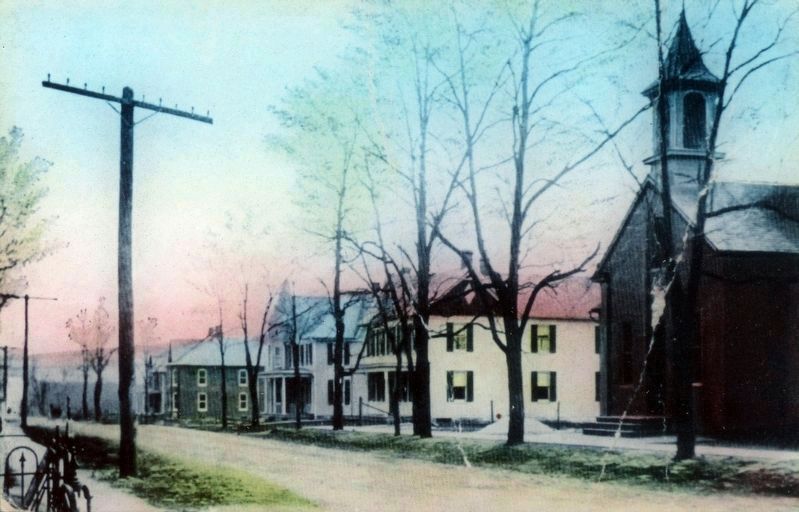
More about this marker. The marker features a picture of Maj. Charles Mattocks. A separate picture of the town carries the caption “The village of Jefferson, seen in this early postcard view, was the first town north of the Potomac that many Union soldiers entered in June 1863.” A map plots nearby Civil War Trails sites.
Also see . . . St. Paul's Lutheran-Jefferson. German Marylanders website entry (Submitted on February 28, 2022, by Larry Gertner of New York, New York.)
Additional keywords. Gettysburg Campaign
Photographed By Craig Swain, July 28, 2007
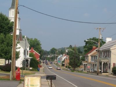
3. Modern Day View of Downtown Jefferson
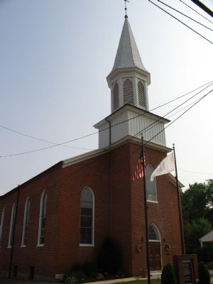
This view is looking to the opposite direction of the postcard view. The church spire on the left is the St. Paul Lutheran Church. Originally built in 1841, but rebuilt in 1866, the church is also seen in the photograph on the marker.
Credits. This page was last revised on February 28, 2022. It was originally submitted on August 16, 2007, by Craig Swain of Leesburg, Virginia. This page has been viewed 1,914 times since then and 59 times this year. Photos: 1, 2, 3. submitted on August 16, 2007, by Craig Swain of Leesburg, Virginia. 4, 5, 6. submitted on October 10, 2018, by Allen C. Browne of Silver Spring, Maryland. 7. submitted on August 16, 2007, by Craig Swain of Leesburg, Virginia. • J. J. Prats was the editor who published this page.
