Romney in Hampshire County, West Virginia — The American South (Appalachia)
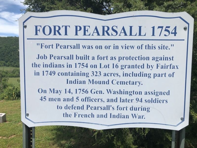
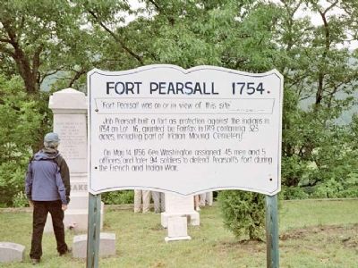
Fort Pearsall 1754
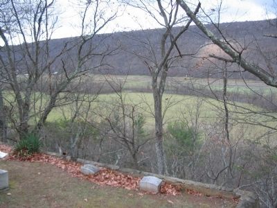
“Fort Pearsall was on or in view of this site.”
Job Pearsall built a fort as protection against the indians in 1754 on Lot 16, granted by Fairfax in 1749 containing 323 acres, including part of Indian Mound Cemetary.
On May 14, 1756, Gen. Washington assigned 45 men and 5 officers and later 94 soldiers to defend Pearsall’s fort during the French and Indian War.
Topics. This historical marker is listed in these topic lists: Colonial Era • Forts and Castles • Native Americans • Settlements & Settlers • War, French and Indian. A significant historical month for this entry is May 1863.
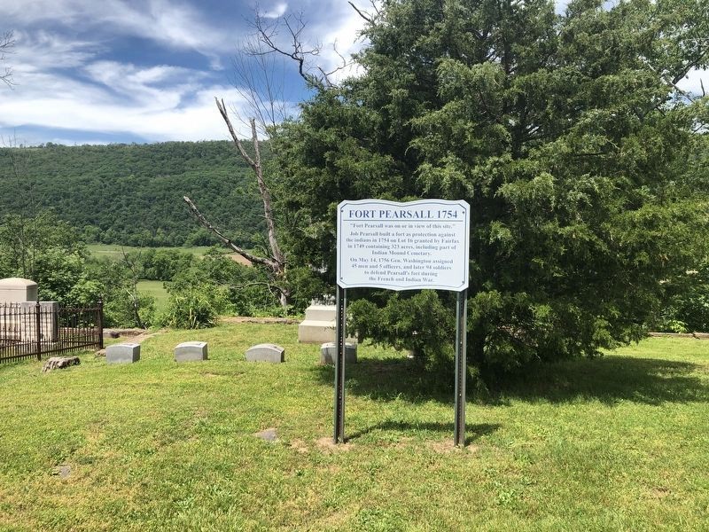
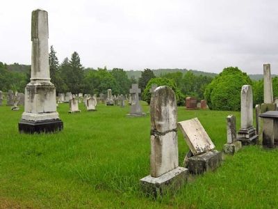
Location. 39° 20.584′ N, 78° 46.006′ W. Marker is in Romney, West Virginia, in Hampshire County. Marker can be reached from the intersection of West Main Street (U.S. 50) and School Street, on the right when traveling west. Marker is in the Indian Mound Cemetery. Touch for map. Marker is in this post office area: Romney WV 26757, United States of America. Touch for directions.
Other nearby markers. At least 8 other markers are within walking distance of this marker. Confederate Memorial (about 400 feet away, measured in a direct line); Mt. Pisgah Benevolence Cemetery (about 500 feet away); Indian Mound Cemetery (about 500 feet away); Indian Mound (about 500 feet away); W.VA.'s Oldest Public Office Building (approx. half a mile away); Romney's Oldest House (approx. half a mile away); Presbyterian Church (approx. half a mile away); Taggart-Hall House (approx. half a mile away). Touch for a list and map of all markers in Romney.
More about this marker. The spellings of indians and Cemetary are verbatim from the marker.
Also see . . . Pearsall’s on the South Branch. (Submitted on August 16, 2007, by Linda Walcroft of Woodstock, Virginia.)
Credits. This page was last revised on May 29, 2020. It was originally submitted on August 16, 2007, by Linda Walcroft of Woodstock, Virginia. This page has been viewed 2,505 times since then and 32 times this year. Photos: 1, 2. submitted on May 29, 2020, by Devry Becker Jones of Washington, District of Columbia. 3. submitted on August 16, 2007, by Linda Walcroft of Woodstock, Virginia. 4. submitted on July 25, 2010, by Craig Swain of Leesburg, Virginia. 5. submitted on August 16, 2007, by Linda Walcroft of Woodstock, Virginia. • J. J. Prats was the editor who published this page.
