Dahlonega in Lumpkin County, Georgia — The American South (South Atlantic)
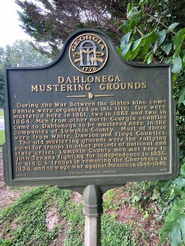
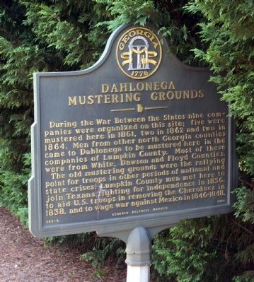
Dahlonega Mustering Grounds
The old mustering grounds were the rallying point for troops in the periods of national and state crises. Lumpkin County men met here to join Texans fighting for independence in 1836, to aid U.S. troops in the removing the Cherokees in 1838, and to wage war against Mexico in 1846 - 1848.
Erected 2001 by Georgia Department of Natural Resources. (Marker Number 093-8.)
Topics and series. This historical marker is listed in these topic lists: War, Mexican-American • War, Texas Independence • War, US Civil • Wars, US Indian. In addition, it is included in the Georgia Historical Society series list. A significant historical year for this entry is 1861.
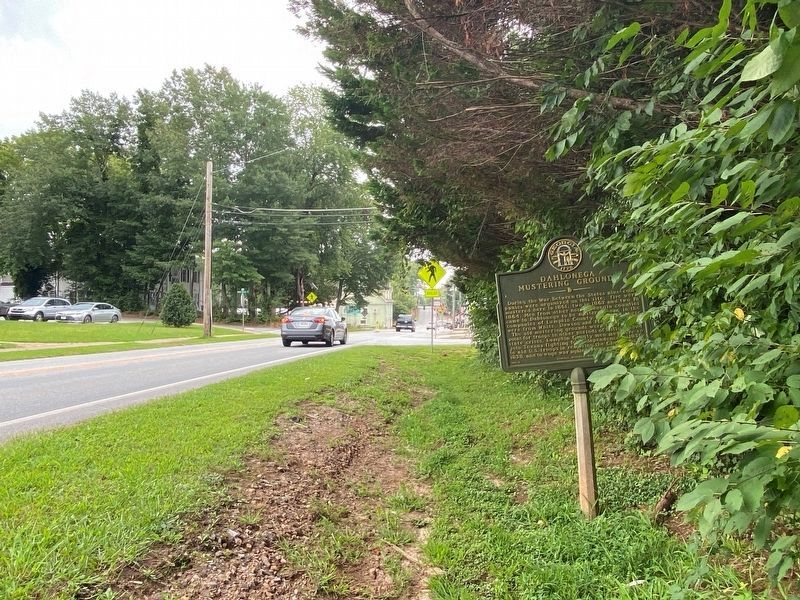
Location. 34° 32.104′ N, 83° 59.075′ W. Marker is in Dahlonega, Georgia, in Lumpkin County. Marker is on North Grove Street NE (U.S. 19) 0 miles Hawkins Street, on the left when traveling north. Touch for map. Marker is in this post office area: Dahlonega GA 30533, United States of America. Touch for directions.
Other nearby markers. At least 8 other markers are within walking distance of this marker. Restoration & Preservation by Cotrell, Inc. (about 400 feet away, measured in a direct line); Maibaum History Tree (about 400 feet away); Discovery to Restoration (about 400 feet away); Chestatee River Diving Bell (c.1875) (about 500 feet away); Dahlonega Stories (about 600 feet away); a different marker also named Dahlonega Stories (about 600 feet away); a different marker also named Dahlonega Stories (about 600 feet away); a different marker also named Dahlonega Stories (about 700 feet away). Touch for a list and map of all markers in Dahlonega.
Credits. This page was last revised on September 4, 2021. It was originally submitted on July 23, 2009, by David Seibert of Sandy Springs, Georgia. This page has been viewed 1,902 times since then and 48 times this year. Photos: 1. submitted on September 3, 2021, by Darren Jefferson Clay of Duluth, Georgia. 2. submitted on July 23, 2009, by David Seibert of Sandy Springs, Georgia. 3. submitted on September 3, 2021, by Darren Jefferson Clay of Duluth, Georgia. • Craig Swain was the editor who published this page.


