Northside in Fort Wayne in Allen County, Indiana — The American Midwest (Great Lakes)
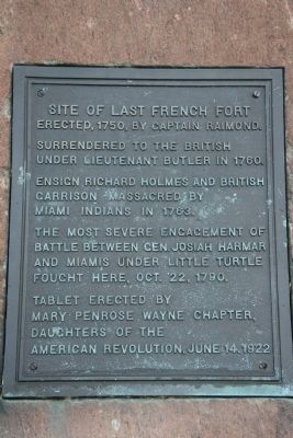
Site of Last French Fort
Inscription.
Erected, 1750, by Captain Raimond
Surrendered to the British under Lieutenant Butler in 1760.
Ensign Richard Holmes and British garrison massacred by Miami Indians in 1763.
The most severe engagement of battle between Gen. Josiah Harmar and Miamis under Little Turtle fought here, Oct. 22, 1790.
Erected 1922 by Mary Penrose Wayne Chapter, Daughters of the American Revolution.
Topics and series. This historical marker is listed in these topic lists: Colonial Era • Forts and Castles • War, French and Indian • Wars, US Indian. In addition, it is included in the Daughters of the American Revolution series list. A significant historical year for this entry is 1750.
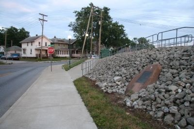
Location. 41° 5.591′ N, 85° 7.807′ W. Marker is in Fort Wayne, Indiana, in Allen County. It is in Northside. Marker is at the intersection of Northside Drive and St. Joseph Boulevard, on the right when traveling south on Northside Drive. Touch for map. Marker is in this post office area: Fort Wayne IN 46805, United States of America. Touch for directions.
Other nearby markers. At least 8 other markers are within walking distance of this marker. Meshekinnoquah (approx. 0.2 miles away); Chief Little Turtle (approx. 0.2 miles away); Home of Philo T. Farnsworth (approx. 0.2 miles away); The "State School" (approx. ¼ mile away); William Wells (approx. ¼ mile away); Civil War Memorial (approx. 0.4 miles away); Three Rivers Water Filtration Plant (approx. 0.6 miles away); The Headwaters of the Maumee River (approx. 0.6 miles away). Touch for a list and map of all markers in Fort Wayne.
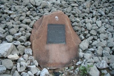
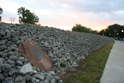
More about this marker. This historical marker is affixed to a boulder that has been incorporated into a heap of rocks that makes up part of a levee that runs along the east side of the St. Joseph's River. This marker can be viewed from the road, Northside Drive, that runs alongside this portion of the river.
Also see . . . Wikipedia entry for the Forts of Fort Wayne, Indiana. (Submitted on July 23, 2009, by Dale K. Benington of Toledo, Ohio.)
Credits. This page was last revised on February 4, 2023. It was originally submitted on July 23, 2009, by Dale K. Benington of Toledo, Ohio. This page has been viewed 2,692 times since then and 60 times this year. Photos: 1, 2, 3, 4. submitted on July 23, 2009, by Dale K. Benington of Toledo, Ohio. • Kevin W. was the editor who published this page.


