Nebraska in Fort Wayne in Allen County, Indiana — The American Midwest (Great Lakes)
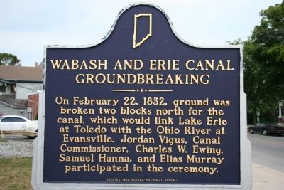
Wabash and Erie Canal Groundbreaking
Erected 1992 by Indiana Historical Bureau. (Marker Number 02.1992.2.)
Topics and series. This historical marker is listed in these topic lists: Industry & Commerce • Waterways & Vessels. In addition, it is included in the Indiana Historical Bureau Markers, and the Wabash & Erie Canal series lists. A significant historical month for this entry is February 1608.
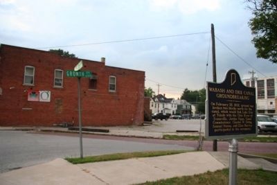
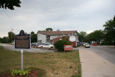
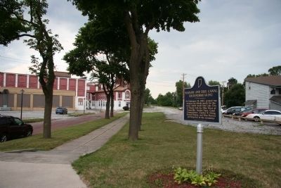
Location. 41° 4.719′ N, 85° 9.905′ W. Marker is in Fort Wayne, Indiana, in Allen County. It is in Nebraska. Marker is at the intersection of West Main Street and Growth Avenue, on the right when traveling west on West Main Street. Touch for map. Marker is in this post office area: Fort Wayne IN 46808, United States of America. Touch for directions.
Other nearby markers. At least 8 other markers are within walking distance of this marker. Lindenwood Cemetery (approx. 0.3 miles away); Camp Allen 1861-64 (approx. 0.4 miles away); Site of the Fort Wayne College (approx. half a mile away); "Johnny Appleseed" (approx. 0.6 miles away); Carole Lombard (approx. 0.6 miles away); Old Aqueduct Club Memorial (approx. 0.6 miles away); The First French Fort / The First Playground in Fort Wayne (approx. ¾ mile away); Fort Miamis (approx. ¾ mile away). Touch for a list and map of all markers in Fort Wayne.
Also see . . . Wikipedia entry for the Wabash and Erie Canal. (Submitted on July 24, 2009, by Dale K. Benington of Toledo, Ohio.)
Credits. This page was last revised on February 4, 2023. It was originally submitted on July 24, 2009, by Dale K. Benington of Toledo, Ohio. This page has been viewed 3,823 times since then and 46 times this year. Photos: 1, 2, 3, 4. submitted on July 24, 2009, by Dale K. Benington of Toledo, Ohio. • Kevin W. was the editor who published this page.


