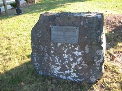
Near Dale City in Prince William County, Virginia — The American South (Mid-Atlantic)
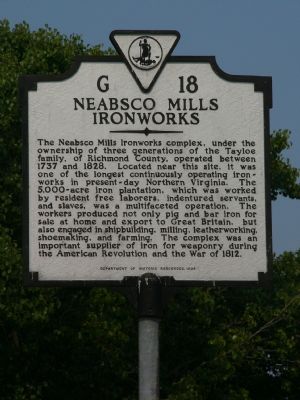
Neabsco Mills Ironworks
Erected 1994 by Department of Historic Resources. (Marker Number G-18.)
Topics and series. This historical marker is listed in these topic lists: Colonial Era • Industry & Commerce • War of 1812 • War, US Revolutionary. In addition, it is included in the Virginia Department of Historic Resources (DHR) series list. A significant historical year for this entry is 1737.
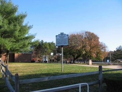
Location. 38° 37.167′ N, 77° 17.912′ W. Marker is near Dale City, Virginia, in Prince William County. Marker is on Southbound Rest Area (Interstate 95 at milepost 156), on the right. Touch for map. Marker is in this post office area: Dumfries VA 22026, United States of America. Touch for directions.
Other nearby markers. At least 8 other markers are within one mile of this marker, measured as the crow flies. Dumfries Rest Area (a few steps from this marker); Like to Eat? (about 700 feet away, measured in a direct line); Freedom High School Sundial Memorial (approx. half a mile away); The Courageous Four (approx. 0.6 miles away); Potomac Path (approx. 0.8 miles away); Neabsco Iron Works (approx. 0.9 miles away); New School Baptist Church (approx. one mile away); Benita Fitzgerald Drive (approx. one mile away). Touch for a list and map of all markers in Dale City.
Regarding Neabsco Mills Ironworks. The Ironworks mentioned on this marker are also referenced in nearby markers, “Events Along Neabsco Creek”, “Leesylvania”, and “Neabsco Iron Works.”
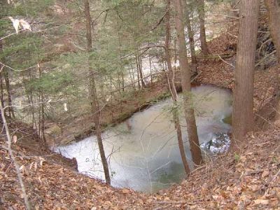
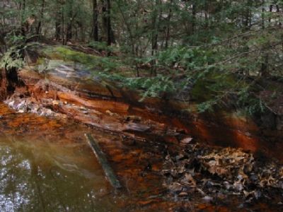
Although no orignal structures remain, you can still see the old mill race (water channel) for the foundry and other evidence of the complex. Pictures 2 and 3 show a hole dug for a building’s foundation along Neabsco Creek.
Also see . . .
1. Neabsco Iron Works Geocache. For those of you who enjoy a good hike and have a GPS, this link will give you the coordinates of a two stage geocache located on the site of the Neabsco
Iron Works. You may have to register with www.geocaching.com in order to view the information. (Submitted on August 17, 2007, by Kevin W. of Stafford, Virginia.)
2. Additional Pictures of Neabsco Iron works. (Submitted on June 15, 2011, by Michael Veax of Fredericksburg, Virginia.)
3. Additional Information on Neabsco Iron Works. (Submitted on June 15, 2011, by Michael Veax of Fredericksburg, Virginia.)
Credits. This page was last revised on October 7, 2023. It was originally submitted on August 16, 2007, by Kevin W. of Stafford, Virginia. This page has been viewed 3,098 times since then and 29 times this year. Last updated on October 3, 2023, by N. Jozsa of Woodbridge, Virginia. Photos: 1. submitted on August 16, 2007, by Kevin W. of Stafford, Virginia. 2. submitted on November 29, 2008, by Craig Swain of Leesburg, Virginia. 3, 4. submitted on August 16, 2007, by Kevin W. of Stafford, Virginia. 5. submitted on November 29, 2008, by Craig Swain of Leesburg, Virginia. • Bill Pfingsten was the editor who published this page.
