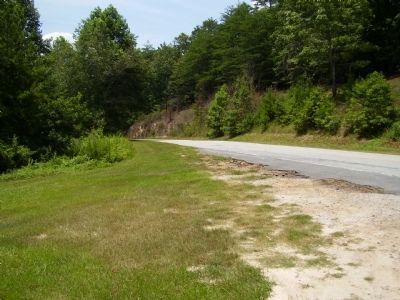
Sunset in Pickens County, South Carolina — The American South (South Atlantic)
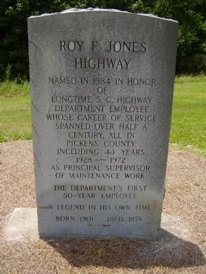
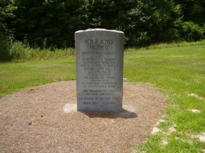
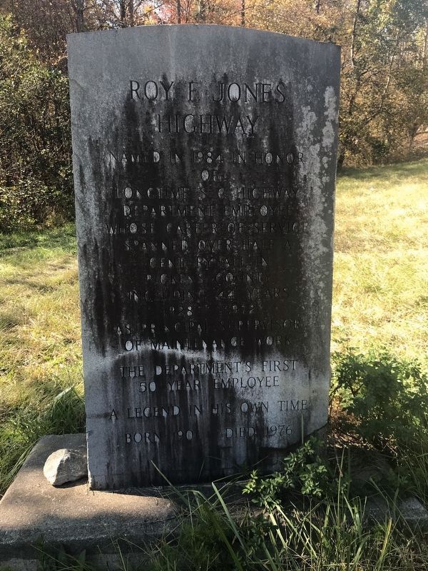
Roy F. Jones Highway
Legend in his own time
Born 1901 Died 1976
Topics. This historical marker is listed in this topic list: Roads & Vehicles. A significant historical year for this entry is 1984.
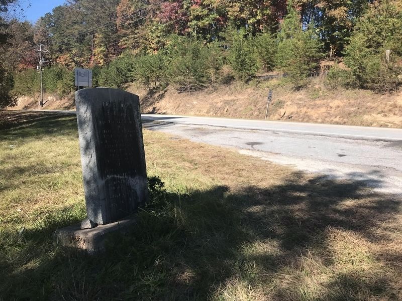
Location. 34° 57.634′ N, 82° 50.047′ W. Marker is in Sunset, South Carolina, in Pickens County. Marker is at the intersection of Cherokee Foothills Scenic Highway (State Highway 11) and Roy F. Jones Highway (State Highway 39-143) on Cherokee Foothills Scenic Highway. Touch for map. Marker is in this post office area: Sunset SC 29685, United States of America. Touch for directions.
Other nearby markers. At least 8 other markers are within 7 miles of this marker, measured as the crow flies. Eastatoee Valley (approx. 1.7 miles away); Fence Posts (approx. 4.6 miles away); Churn Dash (approx. 4.6 miles away); Wm. Jennings Bryan Dorn Bridge (approx. 5.1 miles away); Jocassee Town (approx. 6˝ miles away); The Hagood Cabin (approx. 6.8 miles away); Hagood Mill / Prehistoric Rock Carvings (approx. 6.8 miles away); Hagood Mill Historic Site (approx. 6.8 miles away).
Credits. This page was last revised on November 15, 2021. It was originally submitted on July 24, 2009, by Stanley and Terrie Howard of Greer, South Carolina. This page has been viewed 1,183 times since then and 55 times this year. Photos: 1, 2. submitted on July 24, 2009, by Stanley and Terrie Howard of Greer, South Carolina. 3, 4. submitted on November 10, 2021, by Duane and Tracy Marsteller of Murfreesboro, Tennessee. 5. submitted on July 24, 2009, by Stanley and Terrie Howard of Greer, South Carolina. • Kevin W. was the editor who published this page.
