Doswell in Hanover County, Virginia — The American South (Mid-Atlantic)
Attack at Ox Ford
24 May 1864
Inscription.
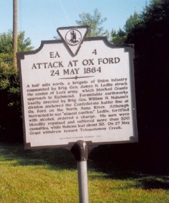
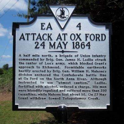
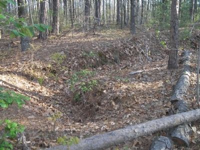
A half mile north, a brigade of Union infantry commanded by Brig. Gen. James H. Ledlie struck the center of Lee’s army, which blocked Grant’s approach to Richmond. Formidable earthworks hastily erected by Brig. Gen. William H. Mahone’s division anchored the Confederate battle line at Ox Ford on the North Anna River. Although instructed to use “utmost caution,” Ledlie, fortified with alcohol, ordered a charge. His men were bloodily repulsed and suffered more than 200 casualities, while Mahone lost about 50. On 27 May, Grant withdrew toward Totopotomoy Creek.
Erected 2011 by Department of Historic Resources. (Marker Number EA-4.)
Topics and series. This historical marker is listed in this topic list: War, US Civil. In addition, it is included in the Virginia Department of Historic Resources (DHR) series list.
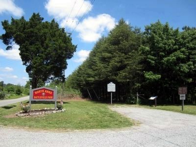
Location. 37° 52.733′ N, 77° 30.312′ W. Marker is in Doswell, Virginia, in Hanover County. Marker is on Verdon Road (Virginia Route 684) 0.2 miles west of New Market Mill Road (Virginia Route 685), on the right when traveling west. Touch for map. Marker is at or near this postal address: 11576 Verdon Road, Doswell VA 23047, United States of America. Touch for directions.
Other nearby markers. At least 8 other markers are within walking distance of this marker. Turning Lee’s Flank (here, next to this marker); The Fight for North Anna / The North Anna Battlefield (approx. 0.4 miles away); Dead of the North Anna Battlefield (approx. 0.4 miles away); The Ox Ford Road (approx. half a mile away); Colonel Weisiger's Virginians (approx. half a mile away); Battle on the Skirmish Line (approx. 0.6 miles away); One Brigade Alone (approx. 0.6 miles away); The Heart of Dixie (approx. 0.7 miles away). Touch for a list and map of all markers in Doswell.
Also see . . .
1. North Anna. CWSAC Battle Summaries website. (Submitted on July 24, 2009, by Bill Coughlin of Woodland Park, New Jersey.)
2. North Anna Battlefield Park. Hanover County Parks & Recreation (Submitted on July 3, 2014.)
Credits. This page was last revised on June 16, 2016. It was originally submitted on July 24, 2009, by Bill Coughlin of Woodland Park, New Jersey. This page has been viewed 1,235 times since then and 23 times this year. Photos: 1. submitted on July 24, 2009, by Bill Coughlin of Woodland Park, New Jersey. 2, 3. submitted on May 24, 2014, by Bernard Fisher of Richmond, Virginia. 4. submitted on July 24, 2009, by Bill Coughlin of Woodland Park, New Jersey.


