The National Mall in Northwest Washington in Washington, District of Columbia — The American Northeast (Mid-Atlantic)
The Canal Connection
Inscription.
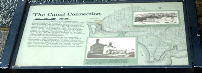
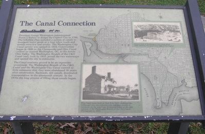
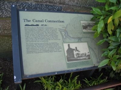
President George Washington commissioned Pierre L'Enfant to design the Capital City in 1790. The L'Enfant Plan included a system of canals to transport heavy goods at a time when roads and streets were few and muddy. The Washington City Canal (green) was opened in 1815. Construction began in 1828 on the Chesapeake and Ohio Canal (yellow) to connect Washington, DC, to the fertile Ohio Valley. The Washington Branch of the C&O Canal (red), built by 1833, joined the two waterways and opened the city to commerce.
The Canal ventures proved to be an expensive investment. The Washington Branch of the C&O Canal and the Washington City Canal carried so little commerce that they were abandoned 30 years after construction. Railroads, not canals, dominated transportation in the nineteenth century. In the 1870s the long process of filling these canals began.
Topics and series. This historical marker is listed in this topic list: Waterways & Vessels. In addition, it is included in the Chesapeake and Ohio (C&O) Canal series list. A significant historical year for this entry is 1790.
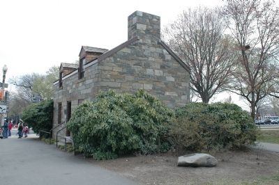
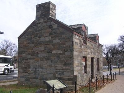
Location. 38° 53.518′ N, 77° 2.385′ W. Marker is in Northwest Washington in Washington, District of Columbia. It is in The National Mall. Marker is at the intersection of Constitution Avenue Northwest (U.S. 50) and 17th Street Northwest, on the right when traveling east on Constitution Avenue Northwest. Marker is in front of the Lock Keeper's House, to the right of the door. Touch for map. Marker is in this post office area: Washington DC 20006, United States of America. Touch for directions.
Other nearby markers. At least 5 other markers are within walking distance of this marker. Lock Keeper’s House (here, next to this marker); The Washington City Canal (here, next to this marker); Bulfinch Gate House (within shouting distance of this marker); Inuksuk (within shouting distance of this marker); Gabriela Mistral (about 300 feet away, measured in a direct line). Touch for a list and map of all markers in Northwest Washington.
More about this marker.
Captions:
Artist’s view of Washington City Canal about 1850, showing the canal route west of the Capitol.
This Canal house built at Lock B by 1833, sheltered the lockkeeper who also collected tolls and kept records of commerce on the waterway. It remains today as the only remnant of the Washington Branch of the C&O Canal. (Photograph ca. 1910).
Also see . . . The Mall. Has a link to a map showing what was also known as the Tiber Canal. (Submitted on March 28, 2006.)
Credits. This page was last revised on January 30, 2023. It was originally submitted on March 28, 2006, by Tom Fuchs of Greenbelt, Maryland. This page has been viewed 5,712 times since then and 51 times this year. Photos: 1. submitted on March 28, 2006, by Tom Fuchs of Greenbelt, Maryland. 2. submitted on August 17, 2017, by J. Makali Bruton of Accra, Ghana. 3. submitted on March 28, 2006, by Tom Fuchs of Greenbelt, Maryland. 4. submitted on August 12, 2008, by Craig Swain of Leesburg, Virginia. 5. submitted on January 6, 2015, by J. Makali Bruton of Accra, Ghana. • J. J. Prats was the editor who published this page.
