Terra Alta in Preston County, West Virginia — The American South (Appalachia)
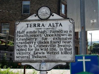
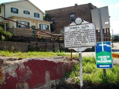
Terra Alta
Erected 1975 by West Virginia Department of Archives and History.
Topics and series. This historical marker is listed in these topic lists: Natural Features • Science & Medicine • Wars, US Indian. In addition, it is included in the West Virginia Archives and History series list.
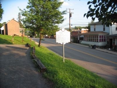
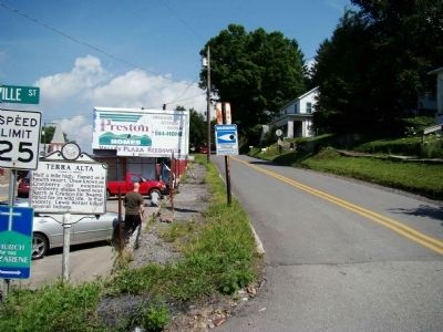
Location. 39° 26.735′ N, 79° 32.77′ W. Marker is in Terra Alta, West Virginia, in Preston County. Marker is at the intersection of State Avenue (West Virginia Route 7) and Main Street, on the right when traveling west on State Avenue. Touch for map. Marker is in this post office area: Terra Alta WV 26764, United States of America. Touch for directions.
Other nearby markers. At least 8 other markers are within walking distance of this marker. Terra Alta Community Honor Roll (about 600 feet away, measured in a direct line); Terra Alta First Presbyterian Church (about 700 feet away); James S. Lakin House (approx. 0.2 miles away); Everett Wayne "Budd" Sell (approx. ¼ mile away); World War I (approx. ¼ mile away); World War II (approx. 0.3 miles away); Korean War (approx. 0.3 miles away); In Memory Of All American Veterans (approx. 0.3 miles away). Touch for a list and map of all markers in Terra Alta.
Credits. This page was last revised on June 16, 2016. It was originally submitted on July 28, 2009, by Jacob Nevin of Bethesda, Maryland. This page has been viewed 1,526 times since then and 59 times this year. Photos: 1, 2. submitted on July 28, 2009, by Jacob Nevin of Bethesda, Maryland. 3. submitted on August 20, 2010, by Craig Swain of Leesburg, Virginia. 4. submitted on July 28, 2009, by Jacob Nevin of Bethesda, Maryland. • Kevin W. was the editor who published this page.


