Bartow in Jefferson County, Georgia — The American South (South Atlantic)
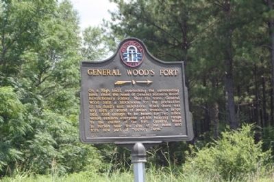
General Wood's Fort
On a high knoll, overlooking the surrounding land, stood the home of General Solomon Wood, Revolutionary soldier. Near this home, General Wood built a blockhouse for the protection of his family and neighbors. When there was any sign or sound of Indian trouble, a large bell, loud enough to be heard for two miles, would summon everyone within hearing range to the shelter of the fort. General Wood is buried near the site of his home and fort, now part of "Victory Farm."
Erected 1955 by Georgia Historical Commission. (Marker Number 81-8.)
Topics and series. This historical marker is listed in these topic lists: Settlements & Settlers • Wars, US Indian. In addition, it is included in the Georgia Historical Society series list.
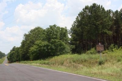
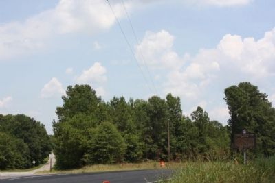
Location. 32° 52.535′ N, 82° 26.805′ W. Marker is in Bartow, Georgia, in Jefferson County. Marker is at the intersection of U.S. 319 and Cooper Road, on the right when traveling east on U.S. 319. Touch for map. Marker is in this post office area: Bartow GA 30413, United States of America. Touch for directions.
Other nearby markers. At least 8 other markers are within 6 miles of this marker, measured as the crow flies. Spier's Turnout (approx. 1.6 miles away); Site of Fort Wood (approx. 1.6 miles away); Bartow (approx. 1.6 miles away); Old Savannah Road (approx. 2.1 miles away); The 20th Corps (approx. 2˝ miles away); Tarver's Mill (approx. 5.1 miles away); Old Sunbury Road (approx. 5.3 miles away); a different marker also named Old Sunbury Road (approx. 5.9 miles away). Touch for a list and map of all markers in Bartow.
Also see . . . Bartow, Georgia Town History. Following The Revolutionary War, what is now Bartow was known as Wood's Fort. It was named for a log and brick fortification built by Solomon Wood against attacks from the Creek Nation. The land on which he settled was partial payment for his services as Commander of all Georgia troops who fought in the Revolutionary War. The fort featured a bell, which was used to signal danger. One little girl, who didn't make it to the fort in time, was scalped but lived to see her wedding day. (Submitted on July 29, 2009, by Mike Stroud of Bluffton, South Carolina.)
Credits. This page was last revised on April 18, 2021. It was originally submitted on July 29, 2009, by Mike Stroud of Bluffton, South Carolina. This page has been viewed 2,477 times since then and 187 times this year. Photos: 1, 2, 3. submitted on July 29, 2009, by Mike Stroud of Bluffton, South Carolina. • Craig Swain was the editor who published this page.


