Fort Howard in Baltimore County, Maryland — The American Northeast (Mid-Atlantic)
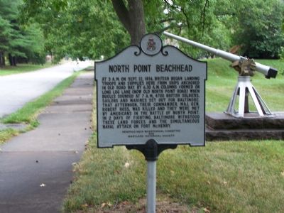
North Point Beachhead
Erected by Patapsco Neck Bicentennial Committee & Maryland Historical Society.
Topics. This historical marker is listed in this topic list: War of 1812. A significant historical month for this entry is September 1894.
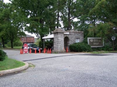
Location. 39° 12.173′ N, 76° 26.738′ W. Marker is in Fort Howard, Maryland, in Baltimore County. Marker is on Gettysburg Avenue, 0.1 miles North Point Road, on the right when traveling south. Marker is inside Fort Howard Veteran’s Hospital gate near the end of North Point Road. The hospital has been closed and access is limited to weekdays. There is another marker near the waterfront that is not accessible. Touch for map. Marker is in this post office area: Fort Howard MD 21052, United States of America. Touch for directions.
Other nearby markers. At least 8 other markers are within walking distance of this marker. Fort Howard (approx. 0.3 miles away); a different marker also named Fort Howard (approx. 0.4 miles away); Power House (approx. 0.4 miles away); Battery Clagett (approx. 0.4 miles away); Battery Nicholson (approx. half a mile away); Searchlight Power House (approx. half a mile away); The Landing (approx. half a mile away); The Presbytery of Baltimore (approx. 0.8 miles away). Touch for a list and map of all markers in Fort Howard.
Credits. This page was last revised on June 16, 2016. It was originally submitted on August 19, 2007, by Bill Pfingsten of Bel Air, Maryland. This page has been viewed 2,452 times since then and 14 times this year. Photos: 1, 2. submitted on August 19, 2007, by Bill Pfingsten of Bel Air, Maryland. • J. J. Prats was the editor who published this page.
Editor’s want-list for this marker. Entry for the other marker on the waterfront that is not usually accessible. • Can you help?

