Dover in Stewart County, Tennessee — The American South (East South Central)
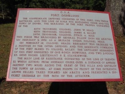
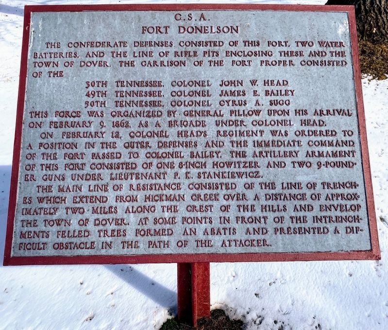
Fort Donelson
Fort Donelson
49th Tennessee, Colonel James E. Bailey
50th Tennessee, Cyrus A. Sugg
This force was organized by General Pillow upon his arrival on February 9, 1862 as a brigade under Colonel Head.
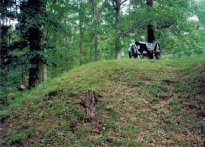
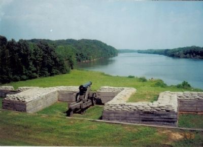
On February 12, Colonel Head’s regiment was ordered to a portion of the outer defenses and the immediate command of the fort passed to Colonel Bailey. The artillery armament of this fort consisted of one 8-inch howitzer and two 9-pound iron guns under Lieutenant P. K. Stankiewicz.
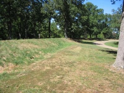
The main line of resistance consisted of the line of trenches which extend from Hickman Creek over a distance of approximately two miles along the crest of the hills and envelop the town of Dover. At some points in front of the intrenchments felled trees formed an abatis and presented a difficult obstacle in the path of the attacker.
Topics. This historical marker is listed in these topic lists: Forts and Castles • War, US Civil. A significant historical month for this entry is February 1821.
Location. 36° 29.444′ N, 87° 51.405′ W. Marker is in Dover, Tennessee, in Stewart County. Marker is on Fort Donelson Park Road, on the left when traveling east. Located at stop 2 in Fort Donelson National Battlefield. Touch for map. Marker is in this post office area: Dover TN 37058, United States of America. Touch for directions.
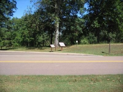
Other nearby markers. At least 8 other markers are within walking distance of this marker. A different marker also named Fort Donelson (here, next to this marker); Life at Fort Donelson (approx. 0.2 miles away); Stankiewicz's Battery (approx. 0.2 miles away); Powder Magazine (approx. ¼ mile away); With Admirable Precision (approx. ¼ mile away); Find A Log Quick! (approx. ¼ mile away); Gun Positions (approx. ¼ mile away); The Upper Water Battery (approx. ¼ mile away). Touch for a list and map of all markers in Dover.
Also see . . . Fort Donelson National Battlefield. National Park Service website. (Submitted on August 2, 2009, by Bill Coughlin of Woodland Park, New Jersey.)
Credits. This page was last revised on February 14, 2022. It was originally submitted on August 2, 2009, by Bill Coughlin of Woodland Park, New Jersey. This page has been viewed 1,594 times since then and 42 times this year. Photos: 1. submitted on November 18, 2010, by Craig Swain of Leesburg, Virginia. 2. submitted on May 10, 2021, by Shane Oliver of Richmond, Virginia. 3. submitted on November 18, 2010, by Craig Swain of Leesburg, Virginia. 4, 5, 6. submitted on August 2, 2009, by Bill Coughlin of Woodland Park, New Jersey. 7. submitted on November 18, 2010, by Craig Swain of Leesburg, Virginia.
