Near Thorntown in Boone County, Indiana — The American Midwest (Great Lakes)
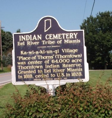
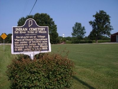
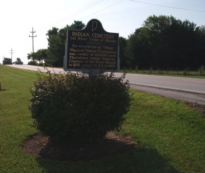
Indian Cemetery
Eel River Tribe of Miamis
Erected 1961 by Indiana Historical Society. (Marker Number 06.1961.1.)
Topics and series. This historical marker is listed in these topic lists: Cemeteries & Burial Sites • Native Americans. In addition, it is included in the Indiana Historical Bureau Markers series list. A significant historical year for this entry is 1818.
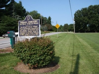
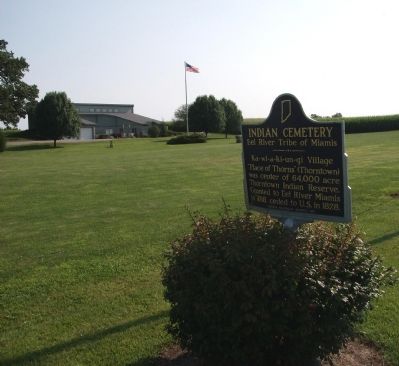
Location. 40° 7.71′ N, 86° 35.656′ W. Marker is near Thorntown, Indiana, in Boone County. Marker is on State Road 47 west of Evans Road, on the left when traveling east. North side of State Road 47 about one-half mile East of Thorntown. Touch for map. Marker is at or near this postal address: 6691 West State Road 47, Thorntown IN 46071, United States of America. Touch for directions.
Other nearby markers. At least 8 other markers are within 12 miles of this marker, measured as the crow flies. Sugar Creek Community (approx. 1.7 miles away); Boone County REMC (approx. 3.6 miles away); Boone County Veterans Memorial (approx. 8.2 miles away); Samuel M. Ralston (approx. 8.7 miles away); Revolutionary War Memorial (approx. 8.7 miles away); Boone County (Indiana) Veterans (approx. 8.7 miles away); Abraham Lincoln (approx. 8.8 miles away); Clinton County (Indiana) War Memorial (approx. 11.4 miles away).
Also see . . . Official Web Site - Eel River Tribe. "Wayback Machine" link to now-defunct website. (Submitted on August 3, 2009, by Al Wolf of Veedersburg, Indiana.)
Credits. This page was last revised on January 18, 2021. It was originally submitted on August 3, 2009, by Al Wolf of Veedersburg, Indiana. This page has been viewed 2,317 times since then and 33 times this year. Photos: 1, 2, 3, 4, 5, 6. submitted on August 3, 2009, by Al Wolf of Veedersburg, Indiana. • Syd Whittle was the editor who published this page.
