Vinings in Cobb County, Georgia — The American South (South Atlantic)
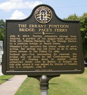
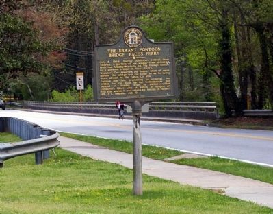
The Errant Pontoon Bridge: Paces Ferry
Wheeler’s Cav. escorted the trains; when all were across, the bridge was cut loose so as to swing down stream to the Fulton Co. side.
Federal gun-fire, preventing its removal, the bridge was cut loose by the Confederates, but instead of floating down to shelter within Johnston’s River Line at Bolton, it lodged on this side where it was seized by troops of Hazen's 4th A. C. brigade, July 8.
Erected 1988 by Georgia Department of Natural Resources. (Marker Number 033-85.)
Topics and series. This historical marker is listed in this topic list: War, US Civil. In addition, it is included in the Georgia Historical Society series list. A significant historical date for this entry is July 5, 1677.
Location. 33° 51.557′ N, 84° 27.332′ W. Marker is in Vinings, Georgia, in Cobb County. Marker is at the intersection of West Paces Ferry Road SE and Paces Ferry Drive SE, on the right when traveling west on West Paces Ferry Road SE. The marker is just west of the Chatthoochee River. Touch for map. Marker is at or near this postal address: 4199 West Paces Ferry Road SE, Atlanta GA 30339, United States of America. Touch for directions.
Other nearby markers. At least 8 other markers are within walking distance of this marker. The 14th & 20th A.C. Cross at Pace's Ferry (a few steps from this marker); a different marker also named The 14th & 20th A.C. Cross at Pace’s Ferry (about 300 feet away, measured in a direct line); Old Pace’s Ferry Road (approx. 0.2 miles away); Palmer’s & Hooker’s A.C. Cross the Chattahoochee (approx. ¼ mile away); Union Defense Line (approx. 0.3 miles away); Site: Hardy Pace’s Res. Howard’s Headquarters (approx. ¾ mile away); The 4th Corps Posted Along the River (approx. ¾ mile away); The 4th Corps at Vining’s Station (approx. 0.8 miles away). Touch for a list and map of all markers in Vinings.
More about this marker. This marker replaced an earlier marker of the same title and text on this location erected by the Georgia Historical Commission.
Photographed By David Seibert, August 8, 2009
5. The Errant Pontoon Bridge: Paces Ferry Marker
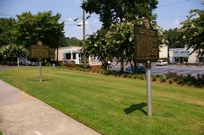
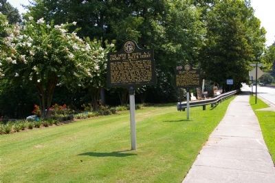
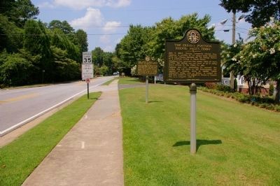
Looking west on Paces Ferry Road from the Chattahoochee River bridge; "The Errant Pontoon Bridge: Paces Ferry" marker is in the foreground, with two different "The 14th & 20th A.C. Cross at Pace’s Ferry" markers further to the west.
Credits. This page was last revised on May 29, 2020. It was originally submitted on August 10, 2009, by David Seibert of Sandy Springs, Georgia. This page has been viewed 1,450 times since then and 34 times this year. Photos: 1, 2, 3. submitted on August 10, 2009, by David Seibert of Sandy Springs, Georgia. 4, 5. submitted on March 18, 2012, by David Seibert of Sandy Springs, Georgia. • Craig Swain was the editor who published this page.
