Roundhead in Hardin County, Ohio — The American Midwest (Great Lakes)
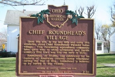
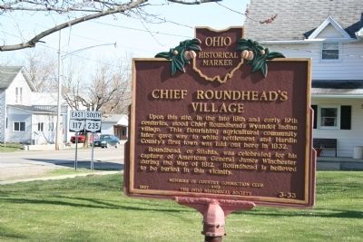
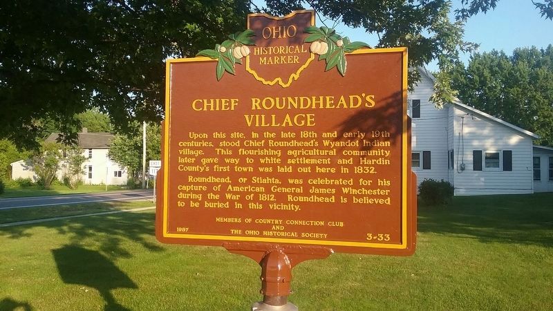
Chief Roundhead's Village
Ohio Historical Marker
Erected 1987 by Members of Country Connection Club and the Ohio Historical Society. (Marker Number 3-33.)
Topics and series. This historical marker is listed in these topic lists: Military • Native Americans • Settlements & Settlers • War of 1812. In addition, it is included in the Ohio Historical Society / The Ohio History Connection series list. A significant historical year for this entry is 1832.
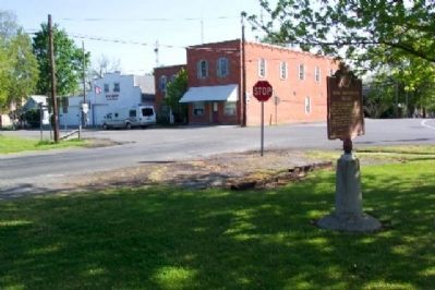
Location. 40° 33.54′ N, 83° 50.138′ W. Marker is in Roundhead, Ohio, in Hardin County. Marker is at the intersection of Township Road 39 and Main Street (Ohio Route 117), on the left when traveling west on Township Road 39. This marker is located on the southwest corner of the intersection of State Route 235 and State Route 117. Touch for map. Marker is in this post office area: Roundhead OH 43346, United States of America. Touch for directions.
Other nearby markers. At least 8 other markers are within 6 miles of this marker, measured as the crow flies. Roundhead Veterans Memorial (approx. ¼ mile away); Roundhead School (approx. ¼ mile away); Roundhead (approx. ¼ mile away); Scioto River (approx. 2½ miles away); Manchester School (approx. 3.3 miles away); Walnut Hill Cemetery Veterans Memorial (approx. 4.6 miles away); Belle Center Jail (approx. 5.8 miles away); Village Marshall Murray Griffin (approx. 5.8 miles away). Touch for a list and map of all markers in Roundhead.
Credits. This page was last revised on July 19, 2019. It was originally submitted on August 12, 2009, by Dale K. Benington of Toledo, Ohio. This page has been viewed 3,070 times since then and 88 times this year. Photos: 1, 2. submitted on August 12, 2009, by Dale K. Benington of Toledo, Ohio. 3. submitted on June 28, 2019, by Richard Lawson of Roundhead, Ohio. 4. submitted on October 2, 2009, by William Fischer, Jr. of Scranton, Pennsylvania. • Bill Pfingsten was the editor who published this page.


