Cayce in Lexington County, South Carolina — The American South (South Atlantic)
Old State Road
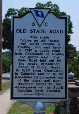
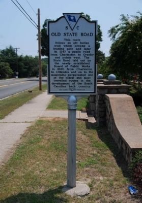
This route follows an old Indian trail path and later in 1747 a public road from Charleston to Granby and points west. The State Road laid out by the newly established Board of Public Works in 1820 from Charleston to Columbia and on to the mountains perpetuated one of the oldest and most travelled routes in the development of the South Carolina back country.
Erected 1965 by West Columbia-Cayce Junion Woman's Club. (Marker Number 32-6.)
Topics. This historical marker is listed in this topic list: Roads & Vehicles. A significant historical year for this entry is 1747.
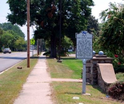
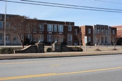
Location. 33° 58.9′ N, 81° 3.316′ W. Marker is in Cayce, South Carolina, in Lexington County. Marker is on State Road (State Highway 2), on the right when traveling south. Marker is located east of the Cayce High School entrance. Touch for map. Marker is at or near this postal address: 1300 State Road, Cayce SC 29033, United States of America. Touch for directions.
Other nearby markers. At least 10 other markers are within one mile of this marker, measured as the crow flies. World War II Monument and Memorial (about 300 feet away, measured in a direct line); Guignard Park (approx. 0.3 miles away); Milestones (approx. 0.9 miles away); River Inn, c. 1740s (approx. 0.9 miles away); Gervais Street Bridge (approx. 0.9 miles away); “City of Columbia” Anchor (approx. 0.9 miles away); Friday’s Ferry (approx. 0.9 miles away); Old Congaree River Bridges (approx. 0.9 miles away); Congaree River Bridges (approx. 1.1 miles away); The Post at the Congarees (approx. 1.1 miles away). Touch for a list and map of all markers in Cayce.
Credits. This page was last revised on June 16, 2016. It was originally submitted on August 16, 2009, by Brian Scott of Anderson, South Carolina. This page has been viewed 3,221 times since then and 217 times this year. Photos: 1, 2, 3. submitted on August 16, 2009, by Brian Scott of Anderson, South Carolina. 4. submitted on August 16, 2011, by Mike Stroud of Bluffton, South Carolina.


