Chantilly in Fairfax County, Virginia — The American South (Mid-Atlantic)
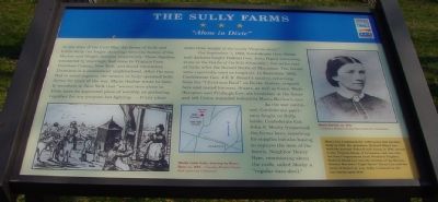
The Sully Farms
"Alone in Dixie"
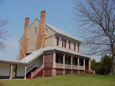
At the time of the Civil War, the farms of Sully and Little Sully (no longer standing) were the homes of the Barlow and Haight families respectively. These families, connected by marriage, had come to Virginia from Dutchess County, New York, and found themselves Unionists in a secessionist neighborhood. After the men fled to avoid capture, the women of Sully operated both farms for most of the war. Maria Barlow wrote to family members in New York that "we out here alone in Dixie have no appointed place of worship no gathering together for any purpose but fighting. … If any place sinks from weight of sin surely Virginia must."
On September 1, 1862, Confederate Gen. Stonewall Jackson fought Federal Gen. John Pope's retreating army at the Battle of Ox Hill (Chantilly), five miles east of Sully, after the Second Battle of Manassas. The farms were reportedly used as hospitals. In December 1862, Confederate Gen. J.E.B. Stuart's cavalry, returning from his "Christmas Raid" on Burke Station, stopped here and rested his men. Stuart, as well as Gens. Wade Hampton and Fitzhugh Lee, ate breakfast in the house and left Union wounded behind in Maria Barlow's care.
As the war continued, Confederate partisans fought on Sully lands. Confederate Col. John S. Mosby frequented the farms here, searching for supplies but also hoping to capture the men of the family. Neighbor Henry Ryer, reminiscing about the raids, called Mosby a "regular dare-devil."
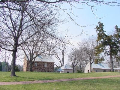
(sidebar) Henry Lee I patented the 3,000 acres that became Sully in 1725. His grandson, Richard Bland Lee, built the present Federal-style house in 1794, served in the Virginia House of Delegates, and was also the first Congressman from Northern Virginia. Richard Bland Lee was the brother of the Revolutionary War Hero "Light Horse" Harry Lee and the uncle of Robert E. Lee. Sully remained in the Lee family until 1838.
Erected by Virginia Civil War Trails.
Topics and series. This historical marker is listed in these topic lists: Agriculture • War, US Civil. In addition, it is included in the Virginia Civil War Trails series list. A significant historical date for this entry is September 1, 1862.
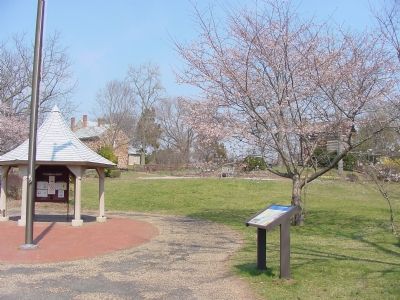
Location. 38° 54.479′ N, 77° 25.769′ W. Marker is in Chantilly, Virginia, in Fairfax County. Marker can be reached from Historic Sully Way, 0.8 miles south of Air and Space Museum Parkway, on the right when traveling south. Located at the Sully Historic Place Visitor Center parking lot. Touch for map. Marker is at or near this postal address: 3642 Historic Sully Way, Herndon VA 20171, United States of America. Touch for directions.
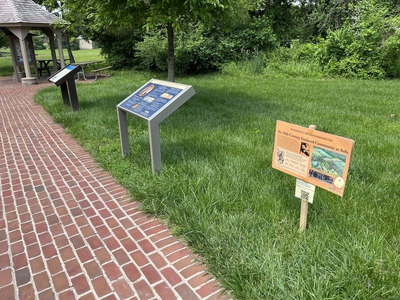
Other nearby markers. At least 8 other markers are within walking distance of this marker. Richard Bland Lee Served His Country (here, next to this marker); An 18th Century Enslaved Community at Sully
More about this marker. One of the series of Virginia Civil War Trails markers. There is plenty of parking at the plantation and it now has its own exit, shared with the Air & Space Museum, off of Route 28.
Regarding The Sully Farms. There is a charge to tour the house and outbuildings. But there is no charge for parking, walking the grounds, or using the tree-shaded picnic tables.
Also see . . . The Sully Farms. Official Sully Plantation page on the Fairfax County Park Authority site. (Submitted on March 31, 2006.)
Credits. This page was last revised on July 23, 2023. It was originally submitted on March 31, 2006, by J. J. Prats of Powell, Ohio. This page has been viewed 3,291 times since then and 59 times this year. Photos: 1. submitted on March 31, 2006, by J. J. Prats of Powell, Ohio. 2. submitted on May 21, 2022, by Devry Becker Jones of Washington, District of Columbia. 3, 4, 5. submitted on March 31, 2006, by J. J. Prats of Powell, Ohio.
