Parris Island in Beaufort County, South Carolina — The American South (South Atlantic)
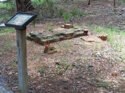
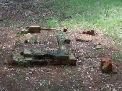
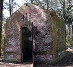
Lighthouse Keepers Home
( Parris Island S.C. )
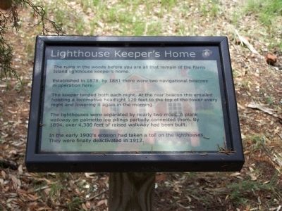
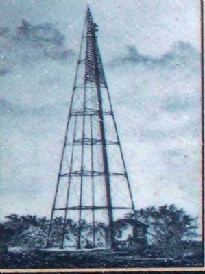
Established in 1878, by 1881 there were two navigational beacons in operation here.
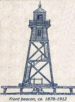
The keeper tended both at night. At the rear beacon this entailed hoisting a locomotive headlight 120 feet to the top of the tower every night and lowering it again in the morning.
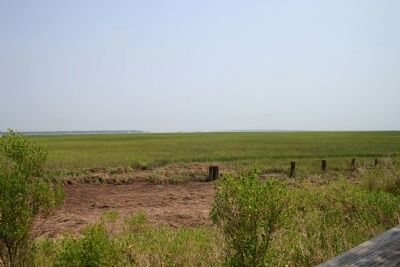
The lighthouses were seperated by nearly two miles. A plank walkway on palmetto log pilings partially connected them. By 1894, over 4,300 feet of raised walkway had been built.
In the early 1900's erosion had taken a toll on the lighthouses. They were finally deactivated in 1912.
Erected by U.S. Marine Corps Recruit Depot Parris Island.
Topics and series. This historical marker is listed in this topic list: Waterways & Vessels. In addition, it is included in the Lighthouses series list. A significant historical year for this entry is 1878.
Location. 32° 18.319′ N, 80° 40.578′ W. Marker is on Parris Island, South Carolina, in Beaufort County. Marker is on Balleau Wood Road. Along boardwalk, south hiking trail, at Balleau Wood Rd. circle. Touch for map. Marker is in this post office area: Parris Island SC 29905, United States of America. Touch for directions.
Other nearby markers. At least 8 other markers are within walking distance of this marker. Battle of Port Royal (within shouting distance of this marker); Parris Island Lighthouses (within shouting distance of this marker); a different marker also named Parris Island Lighthouses (about 300 feet away, measured in a direct line); Parris Island Plantations (about 300 feet away); Parris Island Indians (about 300 feet away); Aqui Estuvo España (about 300 feet away); The First Inhabitants (about 400 feet away); Fort San Marcos (about 400 feet away). Touch for a list and map of all markers in Parris Island.
Related markers. Click here for a list of markers that are related to this marker. To better understand the relationship, study nearby markers
Also see . . . Parris Island Lighthouse Keepers Home. On the Lighthouse Friends web site. (Submitted on September 16, 2009.)
Credits. This page was last revised on June 16, 2016. It was originally submitted on August 17, 2009, by Mike Stroud of Bluffton, South Carolina. This page has been viewed 858 times since then and 9 times this year. Photos: 1, 2, 3, 4, 5, 6, 7. submitted on August 17, 2009, by Mike Stroud of Bluffton, South Carolina. • Craig Swain was the editor who published this page.
