Lewisburg in Greenbrier County, West Virginia — The American South (Appalachia)
Lewisburg
The Battle of Lewisburg
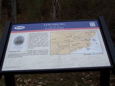
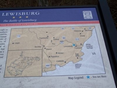
— The Battle of Lewisburg —
Although Colonel Crook won this half hour-long battle, Lewisburg remained a Southern outpost for most of the Civil War. The Ohio and Virginia units that fought here faced three more years of war and battles, including those at Antietam and Cold Harbor.
Erected by West Virginia Civil War Trail.
Topics. This historical marker is listed in these topic lists: Military • Notable Events • War, US Civil. A significant historical month for this entry is May 1888.
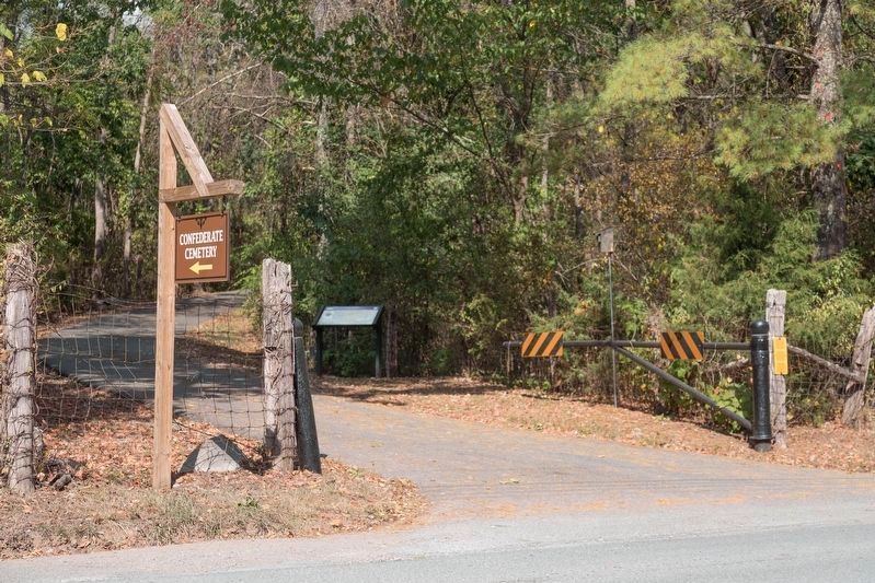
Location. 37° 48.076′ N, 80° 27.217′ W. Marker is in Lewisburg, West Virginia, in Greenbrier County. Marker is on McElhenny Road (Local Route 60/9) 0.3 miles west of Church Street, on the right when traveling west. You can park across the road from the cemetery gate, or drive up the lane to the cemetery to park there and walk back. Touch for map. Marker is in this post office area: Lewisburg WV 24901, United States of America. Touch for directions.
Other nearby markers. At least 8 other markers are within walking distance of this marker. Battle of Lewisburg (about 700 feet away, measured in a direct line); Confederate Cemetery (about 700 feet away); a different marker also named Lewisburg (about 700 feet away); Big Lime (approx. ¼ mile away); Dick Pointer (approx. ¼ mile away); a different marker also named Battle of Lewisburg (approx. 0.3 miles away); a different marker also named Lewisburg (approx. 0.3 miles away); Rev. John McElhenney, D.D. (approx. 0.3 miles away). Touch for a list and map of all markers in Lewisburg.
Related marker. Click here for another marker that is related to this marker. There is a duplicate of this marker on the walking path to the Confederate Cemetery that starts on Washington Street.
Credits. This page was last revised on August 14, 2022. It was originally submitted on August 17, 2009, by Bill Pfingsten of Bel Air, Maryland. This page has been viewed 1,561 times since then and 13 times this year. Last updated on August 12, 2022, by Drew A Gruber of N/a, N/a. Photos: 1. submitted on August 17, 2009, by Bill Pfingsten of Bel Air, Maryland. 2. submitted on October 7, 2019, by J. J. Prats of Powell, Ohio. 3. submitted on August 17, 2009, by Bill Pfingsten of Bel Air, Maryland. • Bernard Fisher was the editor who published this page.


