Doswell in Hanover County, Virginia — The American South (Mid-Atlantic)
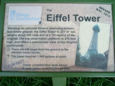
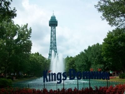
The Eiffel Tower
Opened May, 1975
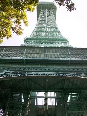
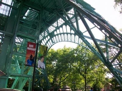
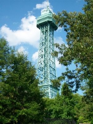
Standing on concrete footers extending sixteen feet below ground, the Eiffel Towers is 331'-6" tall, weighs about 800 tones and is a 1/3 replica of the original. The top observation platform is 275 feet high, and offers a spectacular view of the Virginia countryside.
There are 440 steps from the ground to the elevator motor house.
The tower requires 1,500 gallons of paint.
Fun Fact
Tower construction took about 2 years prior to its 1975 opening.
Erected 2000 by Kings Dominion.
Topics. This historical marker is listed in these topic lists: Entertainment • Parks & Recreational Areas. A significant historical month for this entry is May 1975.
Location. 37° 50.408′ N, 77° 26.714′ W. Marker is in Doswell, Virginia, in Hanover County. The marker is located within Kings Dominion Theme Park. Touch for map. Marker is at or near this postal address: 16000 Theme Park Way, Doswell VA 23047, United States of America. Touch for directions.
Other nearby markers. At least 8 other markers are within walking distance of this marker. Boo Boo's Tree Swings (about 600 feet away, measured in a direct line); The Shockwave (about 600 feet away); Ranger Smith's Jeep Tour (about 600 feet away); The Shenandoah Lumber Company (about 600 feet away); The Blue Ridge Tollway (about 600 feet away); Boulder Bumpers (about 700 feet away); The Scooby-Doo Ghoster Coaster (approx. 0.2 miles away); The Wave Swinger (approx. 0.2 miles away). Touch for a list and map of all markers in Doswell.
Credits. This page was last revised on January 25, 2020. It was originally submitted on August 21, 2009, by Kathy Walker of Stafford, Virginia. This page has been viewed 937 times since then and 14 times this year. Photos: 1, 2, 3, 4, 5, 6, 7. submitted on August 21, 2009, by Kathy Walker of Stafford, Virginia. • Kevin W. was the editor who published this page.
