Near Madison in Morgan County, Georgia — The American South (South Atlantic)
Dorsey
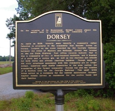
As early as 1839, historic maps identify a community called Palestine in proximity to the community that became known as Dorsey. Located on the route traveled by the Georgia Railroad between the cities of Madison and Rutledge, Dorsey was located on the old Dixie Highway. Post office records indicate that it was a community of two- to three-hundred residents, and it boasted of a store and a cotton gin, as well as two churches and schools for both white and African American children. Though many of the civic structures associated with this community are no longer extant, numerous small family cemeteries in the area outlined boundaries of his former community. Dorsey was also the location of a Section Line for the Georgia Railroad. This small brick house served as a residence for the railway maintenance foreman. Smaller houses served as residences for the section hands and their families.
Because of the individuals who take pride in this community, Dorsey is recognized as a significant part of our county history.
Erected 2009 by Morgan County Bicentennial Committee.
Topics. This historical marker is listed in these topic lists: African Americans • Churches & Religion • Education • Railroads & Streetcars • Roads & Vehicles • Settlements & Settlers. A significant historical year for this entry is 1839.
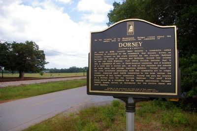
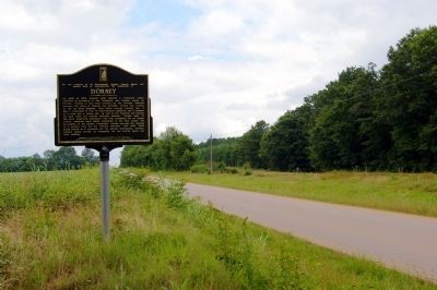
Location. 33° 36.198′ N, 83° 32.581′ W. Marker is near Madison, Georgia, in Morgan County. Marker is on Dixie Highway, 1.3 miles west of Wilson Road, on the right when traveling east. The marker is also .05 mile west of a railroad crossing to Hightower Road, the road which runs on the north side of the railroad tracks. (Dixie Highway runs on the south side of the tracks.). Touch for map. Marker is in this post office area: Madison GA 30650, United States of America. Touch for directions.
Other nearby markers. At least 8 other markers are within 5 miles of this marker, measured as the crow flies. Brownwood-Centennial (approx. 3 miles away); Freedmen's Schooling (approx. 3.9 miles away); Confederate Monument (approx. 4 miles away); Vernacular Construction (approx. 4 miles away); Confederate Dead (approx. 4.1 miles away); Segregated Burial Grounds (approx. 4.1 miles away); The Town Commons (approx. 4.1 miles away); Formal Southern Landscapes (approx. 4.1 miles away). Touch for a list and map of all markers in Madison.

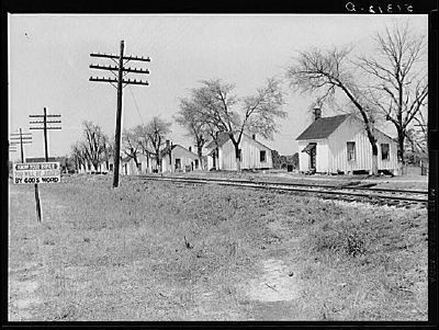
Photographed By Marion Post Wolcott, 1939
4. Railroad work crew houses near Madison, Georgia
This Marion Post Wolcott photograph, retrieved from the Farm Security Administration-Office of War Information (FSA/OWI) Collection in the Library of Congress, could possibly be at this location. While the photograph only identifies the location as Madison, Georgia, it appears to match the description of small "houses served as residences for the section hands and their families" mentioned in the marker text.
Click for more information.
Click for more information.
Credits. This page was last revised on January 31, 2020. It was originally submitted on June 14, 2009, by David Seibert of Sandy Springs, Georgia. This page has been viewed 1,090 times since then and 44 times this year. Last updated on August 24, 2009, by Ken Kocher of Madison, Georgia. Photos: 1, 2, 3. submitted on June 14, 2009, by David Seibert of Sandy Springs, Georgia. 4. submitted on August 4, 2009, by Ken Kocher of Madison, Georgia. • Kevin W. was the editor who published this page.


