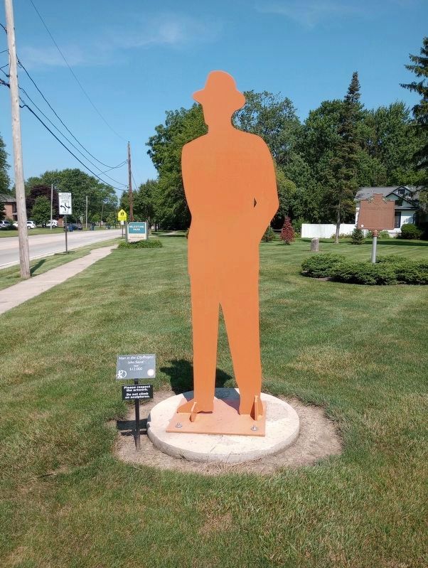
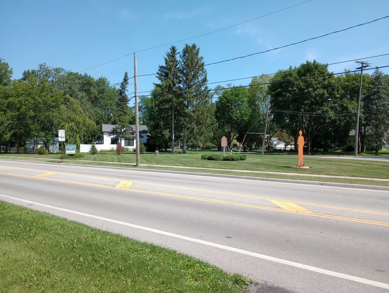
Perrysburg in Wood County, Ohio — The American Midwest (Great Lakes)
The Maumee and Western Reserve Road / Turnpike Milestones
Ohio Historical Marker
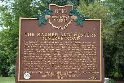
[Front Side]: "The Maumee and Western Reserve Road"
Sandusky Street (U.S. Highway 20) is the former Maumee and Western Reserve Turnpike. Native American tribes northwest of the Ohio River ceded the right of way for this 46-mile road to the federal government in the Treaty of Brownstown in 1808. This narrow strip ran in a nearly straight line from the lower Maumee River rapids through the Black Swamp to the boundary of the Western Reserve, and included one mile of land on either side of the 120-foot wide road. In 1823 Congress gave the land to the state of Ohio, and a crude roadway was cleared by 1827. Land sales financed roadbuilding and maintenance. Notoriously impassible during the wet seasons, the "Mud Pike" was surfaced with gravel in 1838.
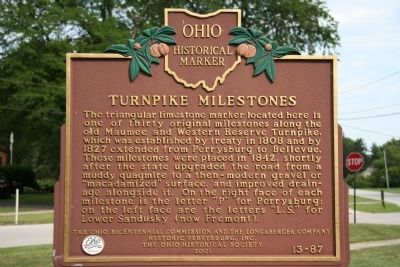
[Reverse Side]: "Turnpike Milestones"
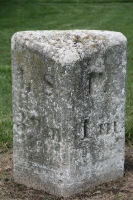
The triangular limestone marker located here is of one of thirty original milestones along the old Maumee and Western Reserve Turnpike, which was established by treaty in 1808 and by 1827 extended from Perrysburg to Bellevue. These milestones were placed in 1842, shortly after the state upgraded the road from a muddy quagmire to a then-modern gravel or "macadamized" surface, and improved drainage alongside it. On the right face of each milestone is the letter "P" for Perrysburg; on the left face are the letters "L.S." for Lower Sandusky (now Fremont).
Erected 2001 by Ohio Bicentennial Commission, The Longaberger Company, Historic Perrysburg, Inc., and The Ohio Historical Society. (Marker Number 13-87.)
Topics and series. This historical marker is listed in these topic lists: Industry & Commerce • Roads & Vehicles. In addition, it is included in the Ohio Historical Society / The Ohio History Connection series list. A significant historical year for this entry is 1808.
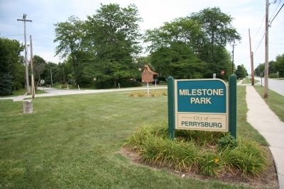
Location. 41° 33.338′ N, 83° 36.995′ W. Marker is in Perrysburg, Ohio, in Wood County. Marker is at the intersection of Sandusky Street (U.S. 20) and Hickory Street, on the right when traveling west on Sandusky Street. Touch for map. Marker is in this post office area: Perrysburg OH 43551, United States of America. Touch for directions.
Other nearby markers. At least 8 other markers are within walking distance of this marker. Perrysburg Memorial Swimming Pool (approx. 0.4 miles away); A Special Thanks! (approx. 0.4 miles away); Al Rava (approx. 0.4 miles away); Woodlands Park (approx. 0.4 miles away); Retirement Box (approx. 0.4 miles away); American Flag (approx. 0.4 miles away); The Silver Lining House (approx. half a mile away); Perrysburg (approx. 0.6 miles away). Touch for a list and map of all markers in Perrysburg.
Also see . . .
1. A Bridge Across the Great Black Swamp. Historic Perrysburg website entry (Submitted on August 25, 2009, by Dale K. Benington of Toledo, Ohio.)
2. The Maumee and Western Reserve Rd. Northwest Ohio Roads website entry (Submitted on August 25, 2009, by Dale K. Benington of Toledo, Ohio.)
3. The Maumee & Western Reserve Road. (Submitted on August 25, 2009, by Dale K. Benington of Toledo, Ohio.)
Photographed By Dale K. Benington, August 11, 2009
3. Turnpike Milestone
View of neaby Turnpike Milestone, the right side of the marker indicating that "P" (Perrysburg) was one mile away and the left side of the marker indicating that "L.S." (Lower Sandusky, which is present day Fremont) is thirty nine miles away.
Credits. This page was last revised on July 22, 2023. It was originally submitted on August 25, 2009, by Dale K. Benington of Toledo, Ohio. This page has been viewed 1,449 times since then and 40 times this year. Photos: 1, 2, 3, 4. submitted on August 25, 2009, by Dale K. Benington of Toledo, Ohio. 5, 6, 7. submitted on July 10, 2023, by Craig Doda of Napoleon, Ohio. • Bill Pfingsten was the editor who published this page.
