Near Shiloh in Hardin County, Tennessee — The American South (East South Central)
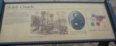
Shiloh Church
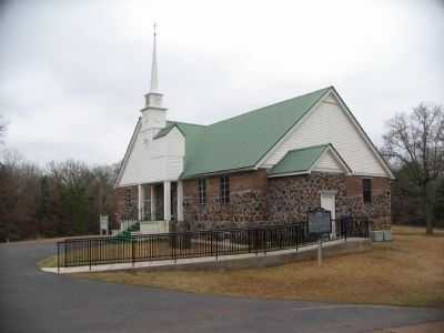
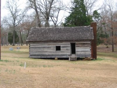
The original log meeting house was erected in 1853. The building survived the battle to serve as a hospital, but collapsed several weeks later. A new frame church replaced the original in 1875. The present masonry church was dedicated in 1959.
Topics. This historical marker is listed in these topic lists: Churches & Religion • War, US Civil. A significant historical date for this entry is April 6, 1840.
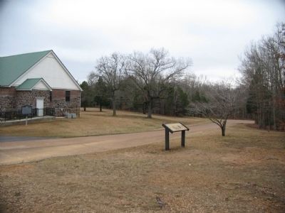
Location. 35° 8.025′ N, 88° 21.319′ W. Marker is near Shiloh, Tennessee, in Hardin County. Marker is on Corinth-Pittsburg Landing Road, on the right when traveling south. Located at stop seven, Shiloh Church, in Shiloh National Military Park. Touch for map. Marker is in this post office area: Shiloh TN 38376, United States of America. Touch for directions.
Other nearby markers. At least 8 other markers are within walking distance of this marker. Violent Sabbath (here, next to this marker); Follow, Not Go! (a few steps from this marker); Shiloh United Methodist Church (a few steps from this marker); Army of the Mississippi (a few steps from this marker); Army of the Ohio (a few steps from this marker); Army of the Tennessee (a few steps from this marker); Battery B, 1st Illinois Light Artillery (a few steps from this marker); Shiloh Log Church (within shouting distance of this marker). Touch for a list and map of all markers in Shiloh.
More about this marker. In the center is a drawing captioned, For two days, the armies of the North and South clashed in the fields and forests surrounding Shiloh Church, the log building on the left.
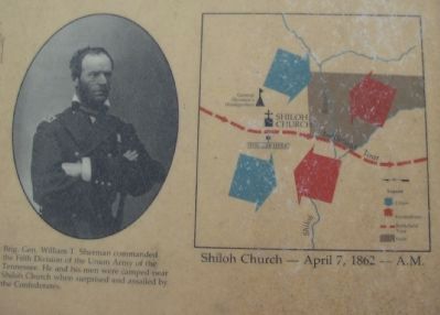
To the right is a portrait of General William T. Sherman. Brig. Gen. William T. Sherman commanded the Fifth Division of the Union Army of the Tennessee. He and his men were camped near Shiloh Church when surprised and assailed by the Confederates. To the far right is a map of the area showing the disposition of forces on in the afternoon of Apirl 7, 1862, the second day of the battle.
Credits. This page was last revised on June 16, 2016. It was originally submitted on August 26, 2009, by Craig Swain of Leesburg, Virginia. This page has been viewed 1,996 times since then and 8 times this year. Photos: 1, 2, 3, 4, 5. submitted on August 26, 2009, by Craig Swain of Leesburg, Virginia.
