Randolph Township in Rising Sun in Ohio County, Indiana — The American Midwest (Great Lakes)
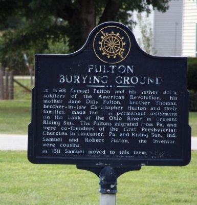
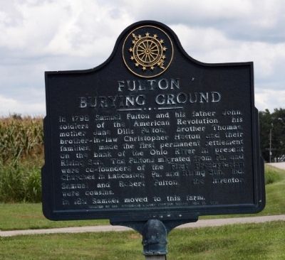
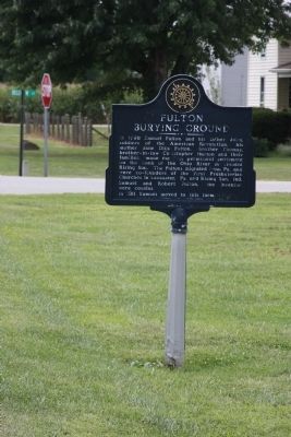
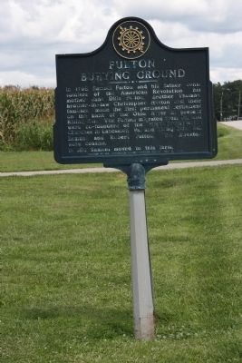
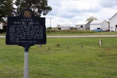
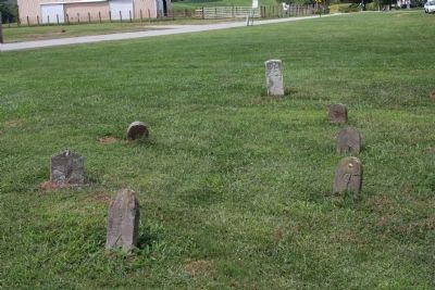
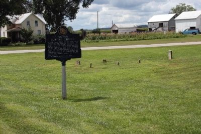
Fulton Burying Ground
The Fultons migrated from Pa. and were co-founders of the First Presbyterian Churches in Lancaster, Pa. and Rising Sun, Ind. Samuel and Robert Fulton, the inventor, were cousins.
In 1811 Samuel moved to this farm.
Erected 1976 by Col. Archibald Lochry Chapter NSDAR.
Topics and series. This historical marker is listed in these topic lists: Cemeteries & Burial Sites • Churches & Religion • Settlements & Settlers • War, US Revolutionary. In addition, it is included in the Daughters of the American Revolution series list. A significant historical year for this entry is 1798.
Location. 38° 58.429′ N, 84° 50.969′ W. Marker is in Rising Sun, Indiana, in Ohio County. It is in Randolph Township. Marker is at the intersection of State Road 56 N and Bellview Lane, on the left when traveling north on State Road 56 N. Touch for map. Marker is in this post office area: Rising Sun IN 47040, United States of America. Touch for directions.
Other nearby markers. At least 8 other markers are within 2 miles of this marker, measured as the crow flies. Rising Sun Historic District (approx. 1˝ miles away); Welcome to Historic Rising Sun (approx. 1˝ miles away); Fulton's Arrival (approx. 1.7 miles away); Ohio County Court House (approx. 1.7 miles away); Ohio County Veterans Memorial (approx. 1.7 miles away); Vietnam Veterans Memorial (approx. 1.7 miles away); The Ohio County Courthouse (approx. 1.7 miles away); Defiance of the Black Codes / Barkshire v. State (approx. 1.7 miles away). Touch for a list and map of all markers in Rising Sun.
Credits. This page was last revised on February 7, 2023. It was originally submitted on September 2, 2009, by Al Wolf of Veedersburg, Indiana. This page has been viewed 1,543 times since then and 58 times this year. Photos: 1, 2, 3, 4, 5, 6, 7. submitted on September 2, 2009, by Al Wolf of Veedersburg, Indiana. • Bill Pfingsten was the editor who published this page.
