Marker Logo HMdb.org THE HISTORICAL
MARKER DATABASE
“Bite-Size Bits of Local, National, and Global History”
Near Monterey in Owen County, Kentucky — The American South (East South Central)
 

Captain Samuel Sanders

1813 - - 1902


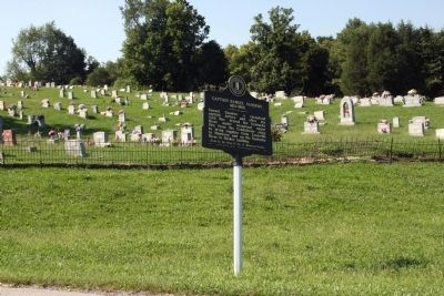
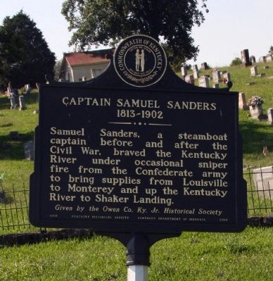
Captain Samuel Sanders Marker image. Click for full size.
Photographed By Ginger Drenning, August 25, 2009
1. Captain Samuel Sanders Marker
Inscription. Samuel Sanders, a steamboat captain before and after the Civil War, braved the Kentucky River under occasional sniper fire from the Confederate army to bring supplies from Louisville to Monterey and up the Kentucky River to Shaker Landing. Given by the Owen Co. Ky. Jr. Historical Society
 
Erected 2008 by Kentucky Historical Society, Kentucky Department of Highways. (Marker Number 2265.)
 
Topics and series. This historical marker is listed in these topic lists: War, US CivilWaterways & Vessels. In addition, it is included in the Kentucky Historical Society series list.
 
Location. 38° 25.267′ N, 84° 51.938′ W. Marker is near Monterey, Kentucky, in Owen County. Marker is on Old Frankfort Pike south of County Route 3523, on the right when traveling south. Touch for map. Marker is in this post office area: Owenton KY 40359, United States of America. Touch for directions.
 
Other nearby markers. At least 8 other markers are within 9 miles of this marker, measured as the crow flies. Gen. Washington's Guard (a few steps from this marker); Monterey (approx. 0.4 miles away); Harry Clark Karsner (1914-1971) / Karsner Air Field (approx. 1.9 miles away); Gratz, A Kentucky River Town (approx. 6 miles away); Historic Gratz Bridge (approx. 6 miles
Paid Advertisement
Click on the ad for more information.
Please report objectionable advertising to the Editor.
Click or scan to see
this page online
away); Earl New Veterans Memorial (approx. 6.1 miles away); Vice Admiral William A. “Mose” Lee Jr. (approx. 8.1 miles away); Jacob Hunter (approx. 8.8 miles away). Touch for a list and map of all markers in Monterey.
 
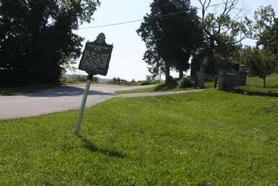
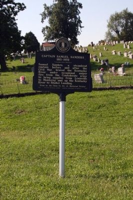
Long View - - Captain Samuel Sanders Marker image. Click for full size.
Photographed By Ginger Drenning, August 25, 2009
2. Long View - - Captain Samuel Sanders Marker
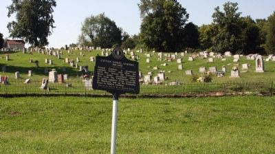
Another View - - Captain Samuel Sanders Marker image. Click for full size.
Photographed By Ginger Drenning, August 25, 2009
3. Another View - - Captain Samuel Sanders Marker
Looking South - - Captain Samuel Sanders Marker image. Click for full size.
Photographed By Ginger Drenning, August 25, 2009
4. Looking South - - Captain Samuel Sanders Marker
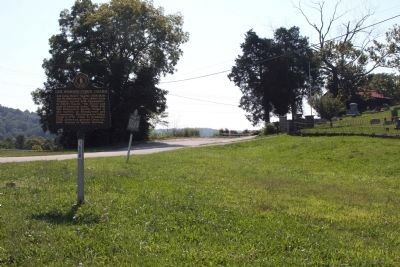
Looking West - - Captain Samuel Sanders Marker image. Click for full size.
Photographed By Ginger Drenning, August 25, 2009
5. Looking West - - Captain Samuel Sanders Marker
Captain Samuel Sanders Marker image. Click for full size.
Photographed By Ginger Drenning, August 25, 2009
6. Captain Samuel Sanders Marker
The Sanders Marker is the one in the background.
 
 
Credits. This page was last revised on June 16, 2016. It was originally submitted on September 3, 2009, by Al Wolf of Veedersburg, Indiana. This page has been viewed 1,238 times since then and 38 times this year. Photos:   1, 2, 3, 4, 5, 6. submitted on September 3, 2009, by Al Wolf of Veedersburg, Indiana. • Craig Swain was the editor who published this page.
Share this page.  
Share on Tumblr
m=22121

CeraNet Cloud Computing sponsors the Historical Marker Database.
This website earns income from purchases you make after using our links to Amazon.com. We appreciate your support.
Paid Advertisement
Apr. 19, 2024