Near Oak Grove in Westmoreland County, Virginia — The American South (Mid-Atlantic)
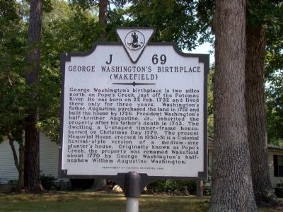
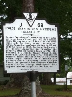
George Washington’s Birthplace
(Wakefield)
Erected 2000 by Department of Historic Resources. (Marker Number J-69.)
Topics and series. This historical marker is listed in these topic lists: Architecture • Colonial Era • Government & Politics. In addition, it is included in the Former U.S. Presidents: #01 George Washington, and the Virginia Department of Historic Resources (DHR) series lists. A significant historical date for this entry is February 22, 1732.
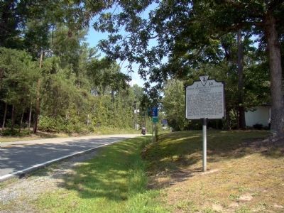
Location. 38° 10.326′ N, 76° 56.917′ W. Marker is near Oak Grove, Virginia, in Westmoreland County. Marker is at the intersection of Kings Highway (Virginia Route 3) and Popes Creek Drive (Virginia Route 204), on the left when traveling east on Kings Highway. Touch for map. Marker is in this post office area: Colonial Beach VA 22443, United States of America. Touch for directions.
Other nearby markers. At least 8 other markers are within 2 miles of this marker, measured as the crow flies. “O! say can you see…” (approx. 1.8 miles away); Free to Fight (approx. 1.8 miles away); War in the Chesapeake (approx. 1.8 miles away); Explore a trail network (approx. 1.8 miles away); The Historic Area (approx. 1.8 miles away); The Burial Ground (approx. 1.9 miles away); Popes Creek Plantation (approx. 1.9 miles away); John Washington House (approx. 1.9 miles away).
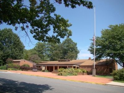
Regarding George Washington’s Birthplace. Use the link to the map (under Location, above), switch to satellite view, and zoom in to see clear overhead photographs of the obelisk, current memorial house, and grounds.
Also see . . . George Washington Birthplace National Monument. “When Augustine Washington died in 1743, the bulk of his estate went to the two sons of his first marriage. George Washington did not inherit much wealth or land, but his father did pass on to him the Washington family’s status as members of the landed gentry and its commitment to public service. George Washington’s half-brother Augustine Jr. inherited the Pope’s Creek plantation when his father died in 1743 and eventually willed it to his son, William.
George Washington frequently returned to Popes Creek throughout his adolescence to learn practical farming and to assist with the responsibilities of running the plantation. William named the property Wakefield and owned the house until it burned down on Christmas Day, 1779.” (Submitted on September 3, 2009.)
Photographed By J. J. Prats, August 30, 2009
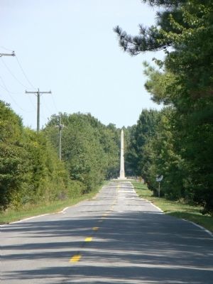
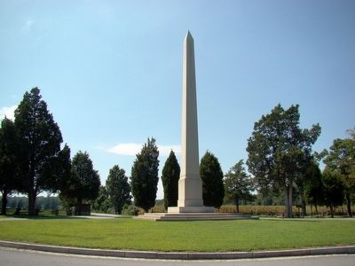
6. George Washington’s Birthplace Memorial Shaft
In the 1890s Congress donated this 50-foot obelisk and erected it on the site where people then thought were the remains of the birth house. The foundations of the house were unearthed in 1936, closer to the river. The obelisk has no writing on any of its faces. Made of Vermont marble, it is a one-tenth scale replica of the Washington Monument that is in Washington, D.C.
Credits. This page was last revised on July 14, 2021. It was originally submitted on September 3, 2009, by J. J. Prats of Powell, Ohio. This page has been viewed 1,715 times since then and 39 times this year. Photos: 1, 2. submitted on September 3, 2009, by J. J. Prats of Powell, Ohio. 3. submitted on September 16, 2010, by Susan Dumler of Mechanicsville, Maryland. 4, 5, 6. submitted on September 3, 2009, by J. J. Prats of Powell, Ohio.
