Near Dahlgren in King George County, Virginia — The American South (Mid-Atlantic)
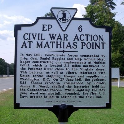
Civil War Action At Mathias Point
Erected 2009 by Department of Historic Resources. (Marker Number EP-6.)
Topics and series. This historical marker is listed in this topic list: War, US Civil. In addition, it is included in the Virginia Department of Historic Resources (DHR) series list. A significant historical month for this entry is May 1861.
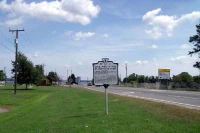
Location. 38° 21.541′ N, 77° 1.057′ W. Marker is near Dahlgren, Virginia, in King George County. Marker is on James Madison Parkway (U.S. 301) 0.3 miles north of Barnsfield Road, on the left when traveling north. Touch for map. Marker is in this post office area: Dahlgren VA 22448, United States of America. Touch for directions.
Other nearby markers. At least 8 other markers are within 4 miles of this marker, measured as the crow flies. “Cliffton” (approx. 2.1 miles away in Maryland); Laidler's Ferry (approx. 2½ miles away in Maryland); Crossing the Potomac (approx. 3.1 miles away in Maryland); John Wilkes Booth (approx. 3.2 miles away in Maryland); Potomac Diversion (approx. 3.2 miles away in Maryland); Ways to Explore Southern Maryland’s Scenic and Historic Routes (approx. 3.2 miles away in Maryland); Explore your Cheaspeake (approx. 3.2 miles away in Maryland); Discover Southern Maryland’s Amazing Stories of Exploration, Hope, and Courage (approx. 3.2 miles away in Maryland).
1861
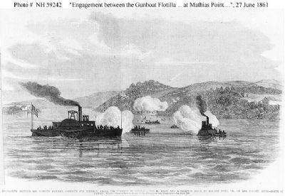
4. Engagement at Mathias Point
"Engagement between the Gunboat Flotilla, Freeborn and Reliance, under the Command of Captain James H. Ward, and a Secession Force at Mathias Point, Va., on the Potomac River -- Death of Captain Ward.", 27 June 1861
Line engraving, based on a sketch by an "Officer of the Expedition", published in "Frank Leslie's Illustrated Newspaper", 1861. It depicts USS Thomas Freeborn, Ward's flagship, in the left foreground. The U.S. Tug Resolute is at right. Naval History & Heritage Command, Photo #: NH 59242
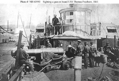
5. USS Thomas Freeborn (1861-1865)
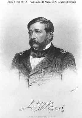
Some of the ship's officers and men demonstrate how her late Commanding Officer, Commander James H. Ward, was sighting her bow gun when he was mortally wounded on 27 June 1861, during an action with Confederate forces at Mathias Point, Virginia.
The gun is a 32 pounder smoothbore, of 60 hundredweight, on a "Novelty Carriage". This mounting was developed by Commander Ward before the Civil War.
Location appears to be the Washington Navy Yard, D.C. Naval History & Heritage Command, Photo #: NH 60990
Credits. This page was last revised on November 9, 2021. It was originally submitted on September 6, 2009, by Bernard Fisher of Richmond, Virginia. This page has been viewed 3,123 times since then and 109 times this year. Photos: 1, 2, 3, 4, 5. submitted on September 6, 2009, by Bernard Fisher of Richmond, Virginia.
