Port Royal in Caroline County, Virginia — The American South (Mid-Atlantic)
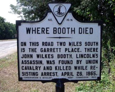
Where Booth Died
Erected 1928 by Conservation & Development Commission. (Marker Number N-16.)
Topics and series. This historical marker is listed in this topic list: War, US Civil. In addition, it is included in the Booth's Escape, and the Virginia Department of Historic Resources (DHR) series lists. A significant historical date for this entry is April 26, 1865.
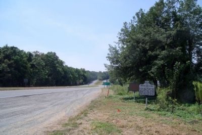
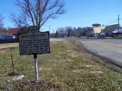
Location. 38° 9.755′ N, 77° 12.047′ W. Marker is in Port Royal, Virginia, in Caroline County. Marker is at the intersection of AP Hill Boulevard (U.S. 301) and Tidewater Trail (U.S. 17), on the right when traveling south on AP Hill Boulevard. Touch for map. Marker is in this post office area: Port Royal VA 22535, United States of America. Touch for directions.
Other nearby markers. At least 8 other markers are within walking distance of this marker. Old Port Royal (approx. 0.7 miles away); The Sacred Lot (approx. 0.7 miles away); Port Royal (approx. ¾ mile away); The Fox Tavern: A Colonial Landmark (approx. 0.8 miles away); Dorothy Roy (approx. 0.8 miles away); The Earliest Inhabitants: Native Americans (approx. 0.9 miles away); St. Peter's Church (approx. 0.9 miles away); a different marker also named Port Royal (approx. 0.9 miles away). Touch for a list and map of all markers in Port Royal.
Also see . . . Booth's Escape Byway, Maryland Office of Tourism. (Submitted on August 19, 2019.)

Internet Archive
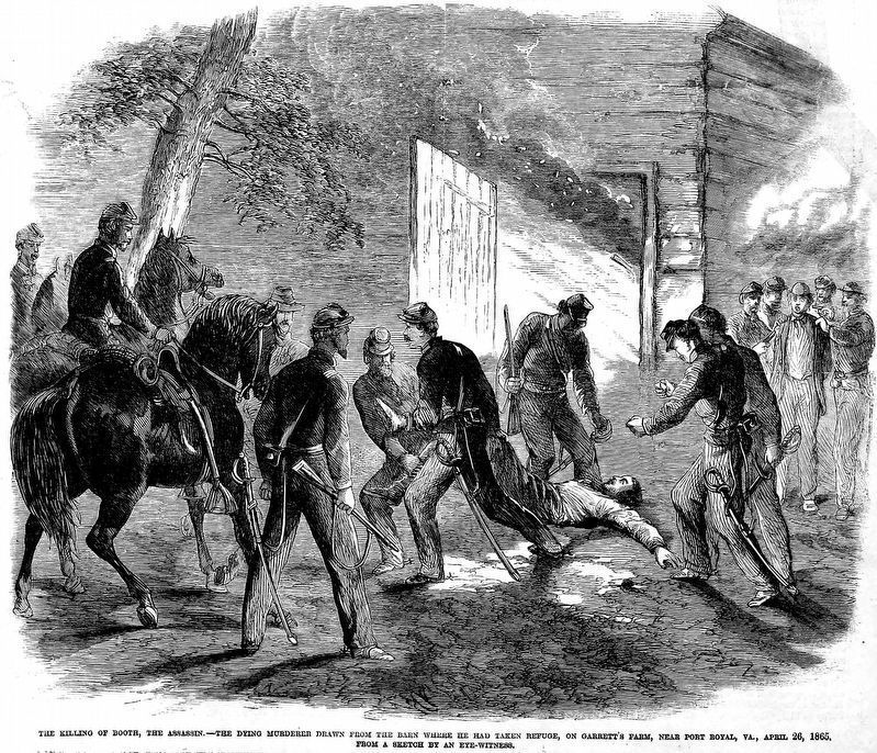
4. The Killing of Booth
The Killing of Booth, the Assassin. — The Dying Murderer drawn from the barn where he had taken refuge, on Garrett's farm, near Port Royal, Va., April 26, 1865. From a sketch by an eye witness.
From Frank Leslie's Illustrated Newspaper,Vol. XX, No. 502, May 13, 1865, Cover.
From Frank Leslie's Illustrated Newspaper,Vol. XX, No. 502, May 13, 1865, Cover.
Credits. This page was last revised on March 22, 2021. It was originally submitted on September 7, 2009, by Bernard Fisher of Richmond, Virginia. This page has been viewed 7,168 times since then and 444 times this year. Photos: 1, 2. submitted on September 7, 2009, by Bernard Fisher of Richmond, Virginia. 3. submitted on March 10, 2010, by Mike Stroud of Bluffton, South Carolina. 4. submitted on March 22, 2021, by Allen C. Browne of Silver Spring, Maryland.


