Tyrone in Wilkes County, Georgia — The American South (South Atlantic)
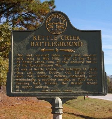
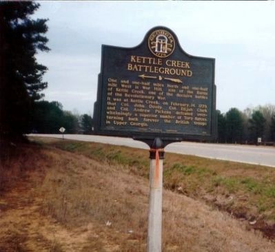
Kettle Creek Battleground
It was at Kettle Creek, on February 14, 1779, that Col. John Dooly, Col. Elijah Clark and Col. Andrew Pickens defeated over-whelmingly a superior number of Tory forces, turning back forever the British troops in Upper Georgia.
Erected 1958 by Georgia Historical Commission. (Marker Number 157-24.)
Topics and series. This historical marker is listed in this topic list: War, US Revolutionary. In addition, it is included in the Georgia Historical Society series list. A significant historical month for this entry is February 1942.
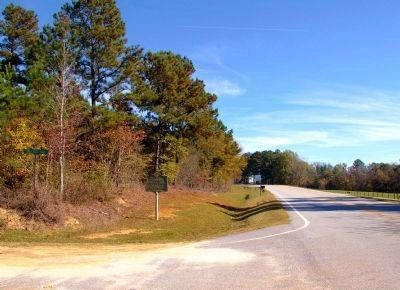
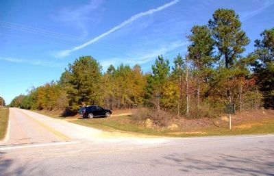
Location. 33° 40.368′ N, 82° 51.327′ W. Marker is in Tyrone, Georgia, in Wilkes County. Marker is at the intersection of Greensboro Road (State Highway 44) and Stoney Ridge Road, on the left when traveling east on Greensboro Road. Touch for map. Marker is in this post office area: Washington GA 30673, United States of America. Touch for directions.
Other nearby markers. At least 8 other markers are within 7 miles of this marker, measured as the crow flies. Phillips Mills Baptist Church (approx. 1.6 miles away); Battle of Kettle Creek (approx. 2.1 miles away); a different marker also named The Battle of Kettle Creek (approx. 2.2 miles away); Kettle Creek Battlefield (approx. 2.2 miles away); Site of Chivers Plantation and Store (approx. 4˝ miles away); Columbus Granade (approx. 6.2 miles away); Birthplace of Alexander Hamilton Stephens (approx. 6.8 miles away); Bishop James Osgood Andrew (approx. 6.9 miles away).
Credits. This page was last revised on May 10, 2020. It was originally submitted on September 10, 2009, by Jill Butler of Birmingham, Alabama. This page has been viewed 1,640 times since then and 23 times this year. Photos: 1, 2, 3. submitted on December 24, 2009, by David Seibert of Sandy Springs, Georgia. 4. submitted on September 9, 2009, by Jill Butler of Birmingham, Alabama. • Kevin W. was the editor who published this page.


