Newgrange in County Meath, Leinster, Ireland — Mid-East (and Dublin)
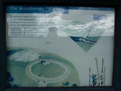
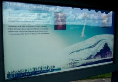
The Woodhenge/Pit circle / The Winter Soltice
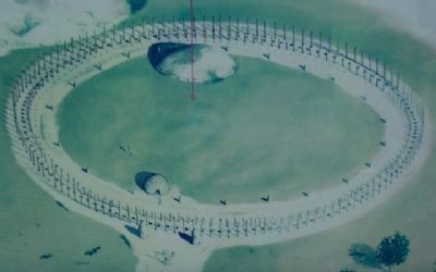
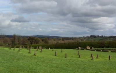
If you were here 4000 years ago in the Early Bronze Age you would be standing inside a large wooden enclosure. The passage tomb was no longer in use at this time but the site was still a focal point for ritual and celebration.
Because the enclosure was made of wood, it hasn't survived above ground. However, evidence of it was found by archaeologists. They found postholes where the huge wooden stakes had been. They also found pits where small animals had been cremated and deep burial shafts where the burnt animal bones were buried. Archaeologists call the enclosure a Woodhenge or Pit Circle.
[In blue box] Five archaeological cuttings revealed the arc of the Woodhenge/Pit Circle
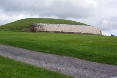
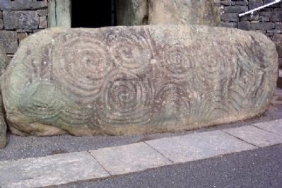
The Winter Soltice Archaeological excavations at Newgrange have shown that the monument was built about 3200BC by Ireland's first farmers, the Neolithic people, who possessed remarkable expertise in engineering, art, architecture and astronomy.
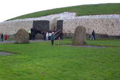
The Research work of the late Professor O'Kelly of University College, Cork led to the reconstruction of the area surrounding the entrance to the tomb and one of his most spectacular discoveries - the illumination of the chamber by the rays of the mid-winter sun.
The roof box
Over the entrance of the passage is a small opening known as the roof box. During the Winter Solstice, i.e. the shortest day of the year, around December 21st the light of the rising sun enters the chamber through this opening. The chamber is illuminated for 17 minutes from 8.58 a.m. (G.M.T.). In 1967 Professor O'Kelly was the first person in modern times to witness this event.
[Small box on marker]A burial at Newgrange c.3200BC. The cremated remains of the dead were placed in the basin stones within the recesses of the chamber.
Erected by Office of Public Works.
Topics. This historical marker is listed in these topic lists: Anthropology & Archaeology • Cemeteries & Burial Sites • Landmarks • Settlements & Settlers. A significant historical month for this entry is December 2001.
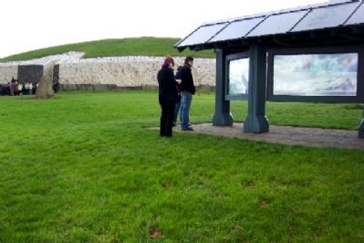
Location. 53° 41.664′ N, 6° 28.452′ W. Marker is in Newgrange, Leinster, in County Meath. Markers are about 150 feet east of the entrance to the Newgrange passage tomb. Entrance to this World Heritage Site is by guided tour from the Brú na Bóinne Visitors Centre, about 1.5 miles west of the village of Donore. Touch for map. Touch for directions.
Other nearby markers. At least 8 other markers are within 6 kilometers of this marker, measured as the crow flies. Knowth / Cnogbha (approx. 1.4 kilometers away); Saint Patrick on the Hill of Slane (approx. 5.2 kilometers away); Slane Abbey (approx. 5.2 kilometers away); Duleek 1916 - 1981 Hunger Strike Monument (approx. 5.3 kilometers away); St Mary's Abbey (approx. 5.7 kilometers away); Connell's House (approx. 5.7 kilometers away); Parochial House (approx. 5.8 kilometers away); The Lime Tree (approx. 5.8 kilometers away).
Also see . . . Newgrange. (Submitted on September 17, 2009.)
Credits. This page was last revised on January 1, 2024. It was originally submitted on September 17, 2009, by William Fischer, Jr. of Scranton, Pennsylvania. This page has been viewed 1,846 times since then and 9 times this year. Photos: 1, 2, 3, 4, 5, 6, 7, 8, 9, 10, 11. submitted on September 17, 2009.
