Near Roscoe in Sullivan County, New York — The American Northeast (Mid-Atlantic)
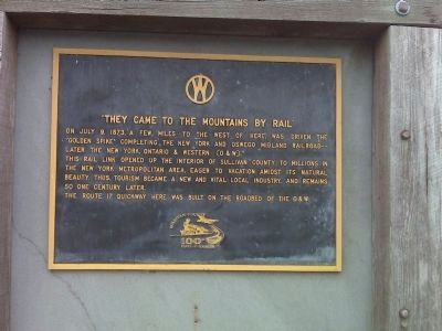
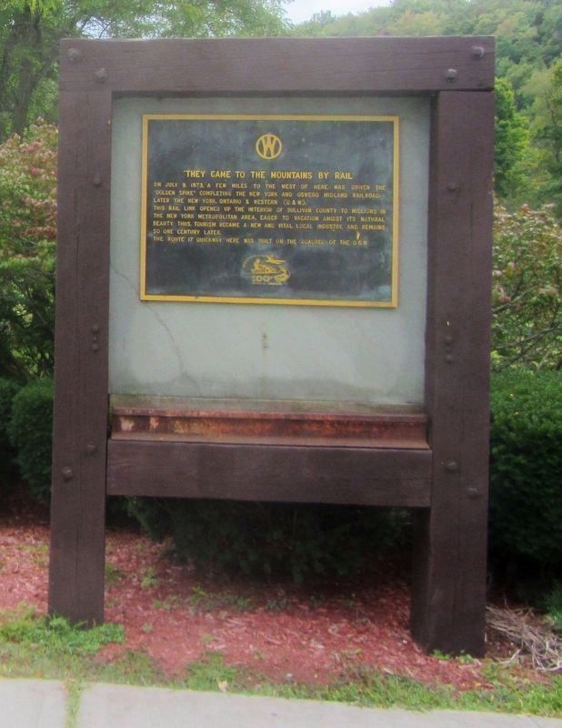
“They Came to the Mountains by Rail”
Inscription.
On July 9, 1873, a few miles to the west of here, was driven the “Golden Spike” completing the New York and Oswego Midland Railroad—later the New York, Ontario & Western (O & W).
This rail link opened up the interior of Sullivan County to millions in the New York Metropolitan area, eager to vacation amidst its natural beauty. Thus, tourism became a new and vital local industry, and remains so one century later.
The Route 17 Quickway here was built on the roadbed of the O & W.
Erected 1973 by Sullivan County Tourism.
Topics. This historical marker is listed in these topic lists: Industry & Commerce • Natural Features • Railroads & Streetcars. A significant historical month for this entry is July 1749.
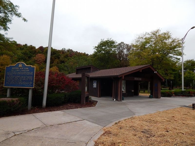
Location. 41° 55.561′ N, 74° 51.853′ W. Marker is near Roscoe, New York, in Sullivan County. Marker is on the Route 17 Quickway at the Roscoe Rest Area,, 2.8 miles east of Exit 94 (Old Route 17), on the right when traveling east. Marker is in front of the comfort station. Touch for map. Marker is in this post office area: Roscoe NY 12776, United States of America. Touch for directions.
Other nearby markers. At least 8 other markers are within 3 miles of this marker, measured as the crow flies. The Catskill Mountains (here, next to this marker); Livingston Manor Covered Bridge (approx. 1.8 miles away); Westfield Flats Cemetery (approx. 2˝ miles away); Presbyterian Church (approx. 2˝ miles away); John R. Mott (approx. 2˝ miles away); Devastating Fire (approx. 2.6 miles away); Risen from the Ashes (approx. 2.6 miles away); Rediscover Sherwood Island (approx. 2.6 miles away). Touch for a list and map of all markers in Roscoe.
More about this marker. In the coming months Route 17 also known as the "Quickway" will be converted to Interstate 86.
Credits. This page was last revised on October 18, 2016. It was originally submitted on September 17, 2009, by Mary Ellen Coghlan of Warwick, New York. This page has been viewed 828 times since then and 19 times this year. Photos: 1. submitted on September 13, 2009, by Mary Ellen Coghlan of Warwick, New York. 2. submitted on October 2, 2016, by Scott J. Payne of Deposit, New York. 3, 4. submitted on October 8, 2016, by Clifton Patrick of Chester, NY, United States. • Kevin W. was the editor who published this page.


