Summerville in Dorchester County, South Carolina — The American South (South Atlantic)
Colonial Dorchester
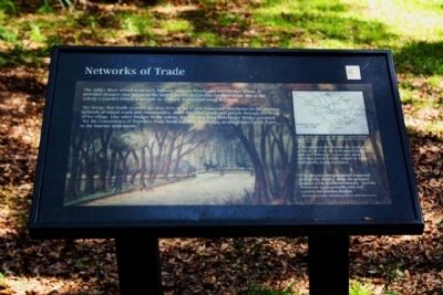
Networks of Trade
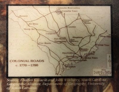
The bridge that finally crossed the river here in the 1720's connected Dorchester to the growing network of inland roads and communities, and it funneled goods and people through the heart of the village. Like other bridges in the colony, the 150 foot long Dorchester Bridge providied "for the Conveniency of Travellers from North Carolia to Georgia, as also from Charles Towne, to the interior Settlements."
( Right text )
To maintain the links in the local chain of roads, in 1744 the Dorchester bridge and four others in St.George's were declared parish bridges subject to repair with public funds and labor.
"The Province is conveniently traversed with public Roads," wrote the surveyor general of the southern colonies, " and the Rivers are made passable with well constructed wooden Bridges."
( Background Illustration from the collection of the S.C. Historical Society )
Erected by South Carolina State Park Service.
Topics. This historical marker is listed in this topic list: Settlements & Settlers . A significant historical year for this entry is 1744.
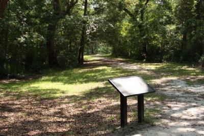
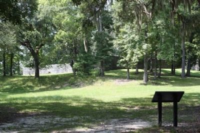
Location. 32° 56.813′ N, 80° 10.18′ W. Marker is in Summerville, South Carolina, in Dorchester County. Marker can be reached from State Park Road. Located .6 miles south of Dorchester Road ( State Road 642 )in Colonial Dorchester State Historic Site, along footpath to the River. Touch for map. Marker is in this post office area: Summerville SC 29485, United States of America. Touch for directions.
Other nearby markers. At least 8 other markers are within walking distance of this marker. Fort Dorchester (about 300 feet away, measured in a direct line); a different marker also named Colonial Dorchester (about 400 feet away); a different marker also named Colonial Dorchester (about 500 feet away); Linking Places and People (about 500 feet away); a different marker also named Colonial Dorchester (about 500 feet away); Dorchester Free School (about 800 feet away); The Bell Tower of St. George's (about 800 feet away); Parish Church of St. George, Dorchester (approx. 0.2 miles away). Touch for a list and map of all markers in Summerville.
Credits. This page was last revised on June 16, 2016. It was originally submitted on September 19, 2009, by Mike Stroud of Bluffton, South Carolina. This page has been viewed 1,008 times since then and 38 times this year. Photos: 1, 2, 3, 4. submitted on September 19, 2009, by Mike Stroud of Bluffton, South Carolina. • Craig Swain was the editor who published this page.


