Sandy Hook in Middletown Township in Monmouth County, New Jersey — The American Northeast (Mid-Atlantic)
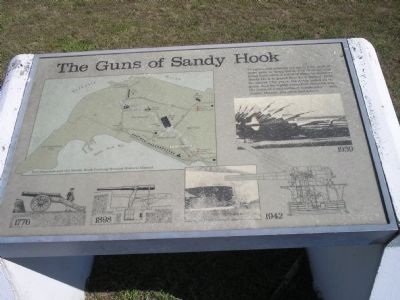
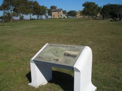
The Guns of Sandy Hook
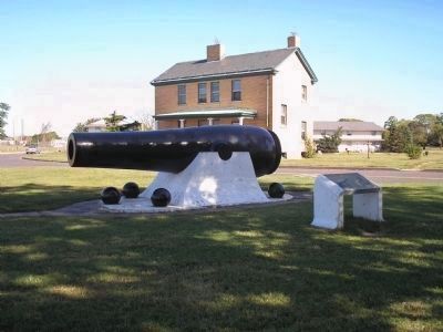
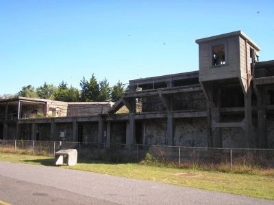
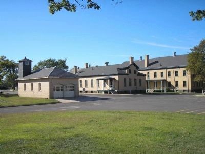
The guns and missiles are silent now, most of them gone to scrap metal. But from colonial times until 1974, a series of defenses stood on Sandy Hook to guard New York Harbor. Here, for almost fifty years, the Army tested all its guns. And for eighty years Fort Hancock was the home of a full military community – with chapel, theater, jail and school.
Erected by National Park Service, U.S. Department of the Interior.
Topics. This historical marker is listed in this topic list: Military. A significant historical year for this entry is 1974.
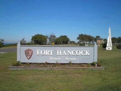
Location. 40° 27.364′ N, 74° 0.245′ W. Marker is in Middletown Township, New Jersey, in Monmouth County. It is in Sandy Hook. Marker is on Hartshorne Drive, on the left when traveling north. Marker is at the entrance to Fort Hancock in the Sandy Hook Unit of Gateway National Recreation Area. Touch for map. Marker is in this post office area: Highlands NJ 07732, United States of America. Touch for directions.
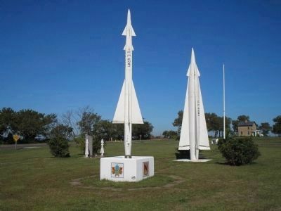
Other nearby markers. At least 8 other markers are within walking distance of this marker. Guardian Park Picnic Area (a few steps from this marker); Nike-Ajax (within shouting distance of this marker); Nike-Hercules (within shouting distance of this marker); Nike Ajax Explosion Memorial (within shouting distance of this marker); Sandy Hook (within shouting distance of this marker); Discover Sandy Hook (within shouting distance of this marker); Hospital Steward’s Quarters (about 400 feet away, measured in a direct line); The Dead House (about 400 feet away). Touch for a list and map of all markers in Middletown Township.
More about this marker. The upper left of the marker contains a map of the upper Sandy Hook peninsula, showing “Fort Hancock and the Sandy Hook Proving Ground Historic District.” Elsewhere on the marker are illustrations of types of guns that were placed here at various times in history, from 1776 to 1959.
Also see . . . Fort Hancock and Sandy Hook Proving Ground National Historic Landmark. National Park Service website entry (Submitted on September 13, 2022, by Larry Gertner of New York, New York.)
Credits. This page was last revised on February 7, 2023. It was originally submitted on September 22, 2009, by Bill Coughlin of Woodland Park, New Jersey. This page has been viewed 1,244 times since then and 18 times this year. Photos: 1, 2, 3, 4, 5, 6, 7, 8. submitted on September 22, 2009, by Bill Coughlin of Woodland Park, New Jersey.
