Fort Recovery in Mercer County, Ohio — The American Midwest (Great Lakes)
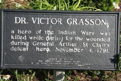
Dr. Victor Grasson
Erected 1953 by The Mercer County Medical Society.
Topics. This historical marker is listed in these topic lists: Heroes • Military • Native Americans • Wars, US Indian. A significant historical month for this entry is November 1846.
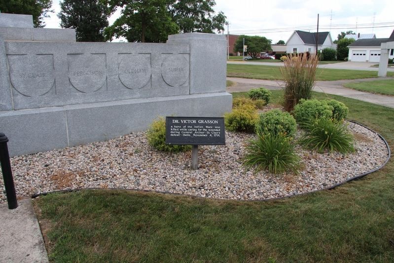
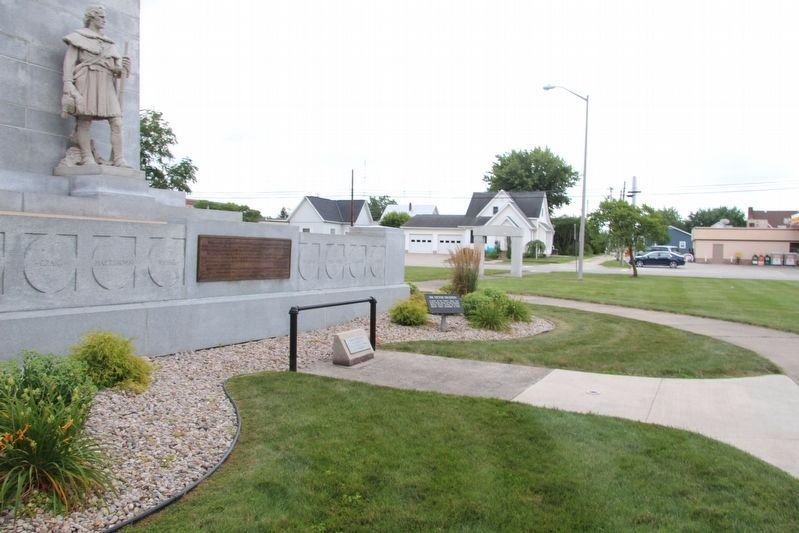
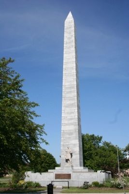
Location. 40° 24.793′ N, 84° 46.558′ W. Marker is in Fort Recovery, Ohio, in Mercer County. Marker is at the intersection of Butler Street (Ohio Route 119) and North Elm Street (Ohio Route 49), on the right when traveling east on Butler Street. To view this historical marker travel into Fort Recovery, Ohio to the junction of State Routes 119 and 49 and on the northeast corner of the intersection is located Fort Recovery Monument Park. Once there you will see a cut stone shaft that is 93 feet tall and this historical marker is located at the base of this stone shaft, on it's west side. Touch for map. Marker is in this post office area: Fort Recovery OH 45846, United States of America. Touch for directions.
Other nearby markers. At least 8 other markers are within walking distance of this marker. Fort Recovery Monument (here, next to this marker); St. Clair's Defeat / Fort Recovery (a few steps from this marker); Fort Recovery Civil War Veterans Memorial (within shouting distance of this marker); Towards a Better Understanding / Remembering the Fallen (within shouting distance of this marker); Weaponry at the Battle of the Wabash and the Battle of Fort Recovery (approx. 0.2 miles away); 114-116 North Wayne Street (approx. 0.2 miles away); Gen. Richard Butler (approx. 0.2 miles away); 109 North Wayne Street (approx. 0.2 miles away). Touch for a list and map of all markers in Fort Recovery.
Credits. This page was last revised on August 5, 2019. It was originally submitted on September 24, 2009, by Dale K. Benington of Toledo, Ohio. This page has been viewed 1,084 times since then and 10 times this year. Photos: 1. submitted on September 24, 2009, by Dale K. Benington of Toledo, Ohio. 2, 3. submitted on August 5, 2019, by Dale K. Benington of Toledo, Ohio. 4. submitted on September 24, 2009, by Dale K. Benington of Toledo, Ohio. • Syd Whittle was the editor who published this page.


