Lutherville-Timonium in Baltimore County, Maryland — The American Northeast (Mid-Atlantic)
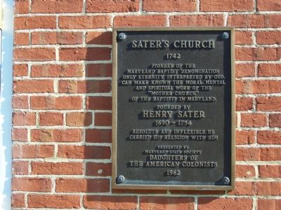
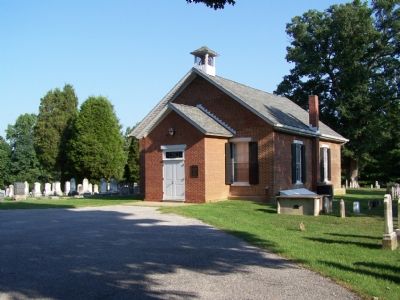
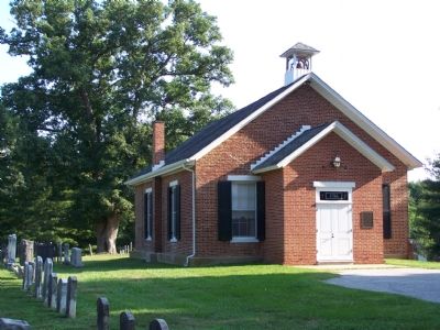
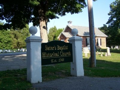
Sater’s Church
1742
Erected 1962 by Maryland State Society Daughters of the American Colonists.
Topics and series. This historical marker is listed in these topic lists: Churches & Religion • Colonial Era. In addition, it is included in the Daughters of the American Colonists series list. A significant historical year for this entry is 1742.
Location. 39° 26.178′ N, 76° 41.232′ W. Marker is in Lutherville-Timonium, Maryland, in Baltimore County. Marker is on Saters Lane, 0.4 miles west of Falls Road (Maryland Route 25), on the right. Touch for map. Marker is in this post office area: Lutherville Timonium MD 21093, United States of America. Touch for directions.
Other nearby markers. At least 8 other markers are within 4 miles of this marker, measured as the crow flies. A different marker also named Saters Church (approx. ¼ mile away); Brooklandwood Plantation (approx. 0.6 miles away); Hunt’s Church (approx. 2.6 miles away); Rockland (approx. 2.7 miles away); Baltimore and Susquehanna Railroad Marble Track Bed (approx. 2.9 miles away); Jones Falls Watershed (approx. 2.9 miles away); Baltimore & Susquehanna Railroad Marble Track Bed (approx. 2.9 miles away); Lutherville Historic District (approx. 3.2 miles away). Touch for a list and map of all markers in Lutherville-Timonium.
Credits. This page was last revised on November 22, 2019. It was originally submitted on September 3, 2007, by Bill Pfingsten of Bel Air, Maryland. This page has been viewed 2,657 times since then and 33 times this year. Photos: 1, 2, 3, 4. submitted on September 3, 2007, by Bill Pfingsten of Bel Air, Maryland. • J. J. Prats was the editor who published this page.


