Gray Court in Laurens County, South Carolina — The American South (South Atlantic)
Laurens County Training School
[Front]:
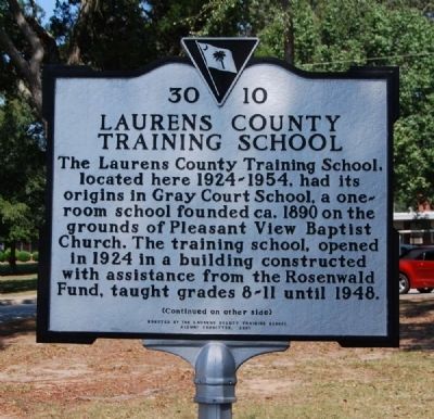
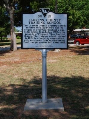
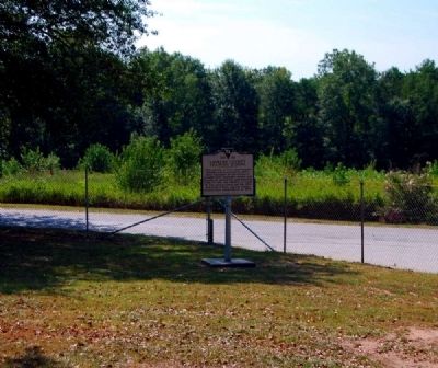
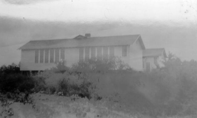
The Laurens County Training School, located here 1924-1954, had its origins in Gray Court School, a one-room school founded ca. 1890 on the grounds of Pleasant View Baptist Church. The training school, opened in 1924 in a building constructed with assistance from the Rosenwald Fund, taught grades 8-11 until 1948.
[Reverse]:
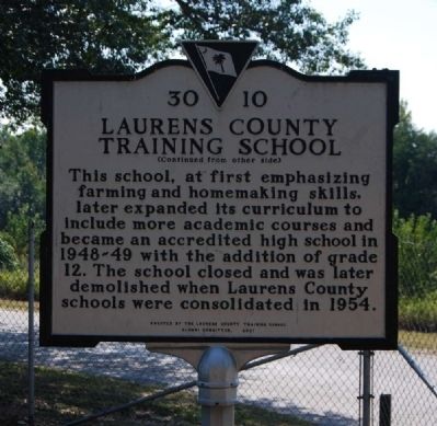
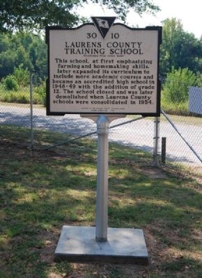
This school, at first emphasizing farming and homemaking skills, later expanded its curriculum to include more academic courses and became an accredited high school in 1948-49 with the addition of grade 12. The school closed and was later demolished when Laurens County schools were consolidated in 1954.
Erected 2001 by Laurens County Training School Alumni Committee. (Marker Number 30-10.)
Topics and series. This historical marker is listed in these topic lists: Education • Notable Buildings. In addition, it is included in the Rosenwald Schools series list. A significant historical year for this entry is 1890.
Location. 34° 36.317′ N, 82° 7.134′ W. Marker is in Gray Court, South Carolina, in Laurens County. Marker is on West Mill Street east of Pleasantview Drive, on the right when traveling west. Touch for map. Marker is at or near this postal address: 340 West Mill Street, Gray Court SC 29645, United States of America. Touch for directions.
Other nearby markers. At least 10 other markers are within 8 miles of this marker, measured as the crow flies. Gray Court Owings Consolidated High School (approx. one mile away); Francis Rapley Owings House / Owings (approx. 1.9 miles away); Dials Methodist Church (approx. 2.4 miles away); Young’s School (approx. 5.8 miles away); Tullyton (approx. 6½ miles away); Charles G. Garrett Interchange (approx. 7 miles away); Cherokee Boundary (1767) (approx. 7.1 miles away); Fountain Inn Cemetery (approx. 7.3 miles away); Fountain Inn Rosenwald School (approx. 7.6 miles away); Fountain Inn Cotton Mill / Woodside Mill and Village (approx. 7.7 miles away). Touch for a list and map of all markers in Gray Court.
Also see . . . Rosenwald Fund. The Rosenwald Fund (also known as the Rosenwald Foundation, the Julius Rosenwald Fund, and the Julius Rosenwald Foundation) was established in 1917 by Julius Rosenwald and his family for "the well-being of mankind." (Submitted on October 1, 2009, by Brian Scott of Anderson, South Carolina.)
Credits. This page was last revised on June 16, 2016. It was originally submitted on October 1, 2009, by Brian Scott of Anderson, South Carolina. This page has been viewed 891 times since then and 26 times this year. Photos: 1, 2, 3, 4, 5. submitted on October 1, 2009, by Brian Scott of Anderson, South Carolina. 6. submitted on October 2, 2009, by Brian Scott of Anderson, South Carolina.
