Near Culpeper in Culpeper County, Virginia — The American South (Mid-Atlantic)
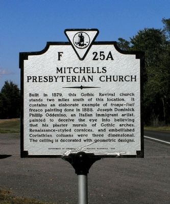
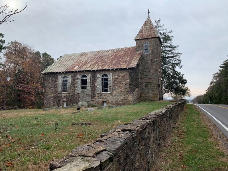
Mitchells Presbyterian Church
Erected 1985 by Department of Conservation and Historic Resources. (Marker Number F-25A.)
Topics and series. This historical marker is listed in these topic lists: Architecture • Arts, Letters, Music • Churches & Religion. In addition, it is included in the Virginia Department of Historic Resources (DHR) series list. A significant historical year for this entry is 1879.
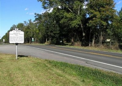
Location. 38° 24.584′ N, 78° 0.568′ W. Marker is near Culpeper, Virginia, in Culpeper County. Marker is at the intersection of Zachary Taylor Highway (U.S. 522) and Winston Road (Virginia Route 617) on Zachary Taylor Highway. Touch for map. Marker is in this post office area: Culpeper VA 22701, United States of America. Touch for directions.
Other nearby markers. At least 8 other markers are within 3 miles of this marker, measured as the crow flies. A different marker also named Mitchells Presbyterian Church (approx. 2.2 miles away); Battle of Cedar Mountain (approx. 2.2 miles away); Lee and Pope (approx. 2.2 miles away); Mount Pony Signal Station (approx. 2.4 miles away); 28th Reg't New York State (approx. 2.9 miles away); 46th Pennsylvania Infantry (approx. 2.9 miles away); Tenth Maine (approx. 3 miles away); a different marker also named Battle of Cedar Mountain (approx. 3 miles away). Touch for a list and map of all markers in Culpeper.
Related marker. Click here for another marker that is related to this marker.
Credits. This page was last revised on September 10, 2023. It was originally submitted on October 11, 2009, by PaulwC3 of Northern, Virginia. This page has been viewed 1,079 times since then and 35 times this year. Photos: 1. submitted on October 11, 2009, by PaulwC3 of Northern, Virginia. 2. submitted on October 16, 2009, by PaulwC3 of Northern, Virginia. 3. submitted on September 10, 2023, by John Kilday of Warrenton, Virginia. • Kevin W. was the editor who published this page.
Editor’s want-list for this marker. Pictures of the trompe-l’oeil fresco paintings inside the church. • Can you help?


