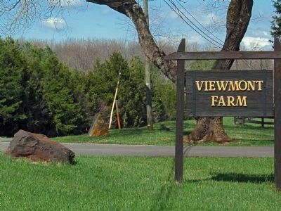
Viewmont near Charlottesville in Albemarle County, Virginia — The American South (Mid-Atlantic)
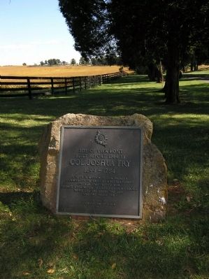
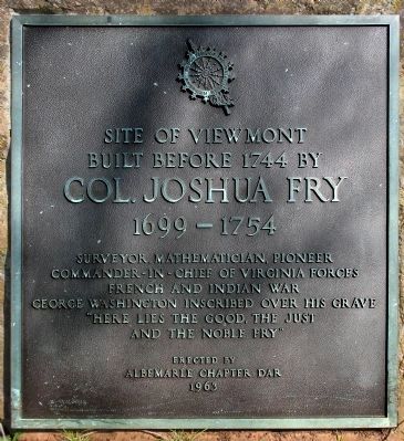
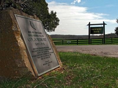
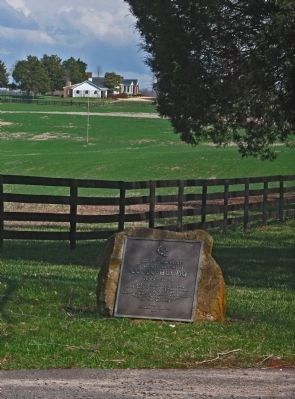
Site of Viewmont
Inscription.
Col. Joshua Fry
1699-1754
Surveyor, Mathematician, Pioneer
Commander-in-Chief of Virginia Forces
French and Indian War
George Washington Inscribed over his Grave
“Here lies the good, the just
and the noble Fry.
Erected 1963 by Albemarle DAR Chapter.
Topics and series. This historical marker is listed in these topic lists: Colonial Era • Exploration • War, French and Indian. In addition, it is included in the Daughters of the American Revolution series list. A significant historical year for this entry is 1744.
Location. 37° 53.823′ N, 78° 33.018′ W. Marker is near Charlottesville, Virginia, in Albemarle County. It is in Viewmont. Marker is on Scottsville Road (Virginia Route 20) half a mile south of Frys Path (Virginia Route 627), on the right when traveling north. Touch for map. Marker is at or near this postal address: 1304 Viewmont Farm, Charlottesville VA 22902, United States of America. Touch for directions.
Other nearby markers. At least 8 other markers are within 8 miles of this marker, measured as the crow flies. Viewmont (a few steps from this marker); Southern Albemarle Rural Historic District (approx. 0.8 miles away); Hatton Ferry (approx. 6.7 miles away); The Glebe (approx. 7 miles away); Scottsville Confederate Cemetery (approx. 7.2 miles away); North Garden Church (approx. 7.2 miles away); Historic Scottsville (approx. 7.4 miles away); Hurricane Camille (approx. 7˝ miles away). Touch for a list and map of all markers in Charlottesville.
Related marker. Click here for another marker that is related to this marker. Another Col. Joshua Fry marker in Cumberland, Maryland.
Also see . . .
1. Viewmont. Scottsville Museum website entry (Submitted on January 31, 2024, by Larry Gertner of New York, New York.)
2. Joshua Fry (ca. 1700–May 31, 1754). Encyclopedia Virginia website entry (Submitted on January 31, 2024, by Larry Gertner of New York, New York.)
Credits. This page was last revised on January 31, 2024. It was originally submitted on October 5, 2009, by PaulwC3 of Northern, Virginia. This page has been viewed 1,682 times since then and 55 times this year. Last updated on October 12, 2009, by PaulwC3 of Northern, Virginia. Photos: 1. submitted on October 5, 2009, by PaulwC3 of Northern, Virginia. 2, 3, 4, 5. submitted on August 1, 2012, by Allen C. Browne of Silver Spring, Maryland. • Kevin W. was the editor who published this page.
